What is recorded here
Located at the bottom of a slight W-facing slope, it is described as St Patrick’s Well on the 1836 and 1912 editions of the OS 6-inch map. Between those dates a lane, approaching from the S was built but the remnants of this are now overgrown. The well is a masonry cube (dims 3.1m E-W; 3.05m N-S; H 0.7-1.2m) with an opening (Wth 1m; H 0.8m) on the W (lane) side, which was in this form before the 1830s (OSNB 104, 303). The well is circular (diam. 1.35m) and it was covered by a dome protruding through the masonry cube. The granite stones of the dome form a cross. It had a cure for eye complaints. (French 2012, 1-3)
Compiled by: Michael Moore
Date of upload: 10 April, 2019
Located at the bottom of a slight W-facing slope, it is described as St Patrick’s Well on the 1836 and 1912 editions of the OS 6-inch map. Between those dates a lane, approaching from the S was built but the remnants of this are now overgrown. The well is a masonry cube (dims 3.1m E-W; 3.05m N-S; H 0.7-1.2m) with an opening (Wth 1m; H 0.8m) on the W (lane) side, which was in this form before the 1830s (OSNB 104,…
From the National Monuments Service (Archaeological Survey of Ireland) record ME011-045
The monument record does not grant public access. Check the route and ask the landowner before entering private land.
- What survives
- Recorded monument
Places near here
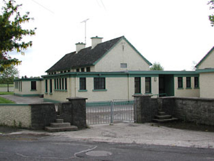 Carlanstown National SchoolSchool · 154 yd
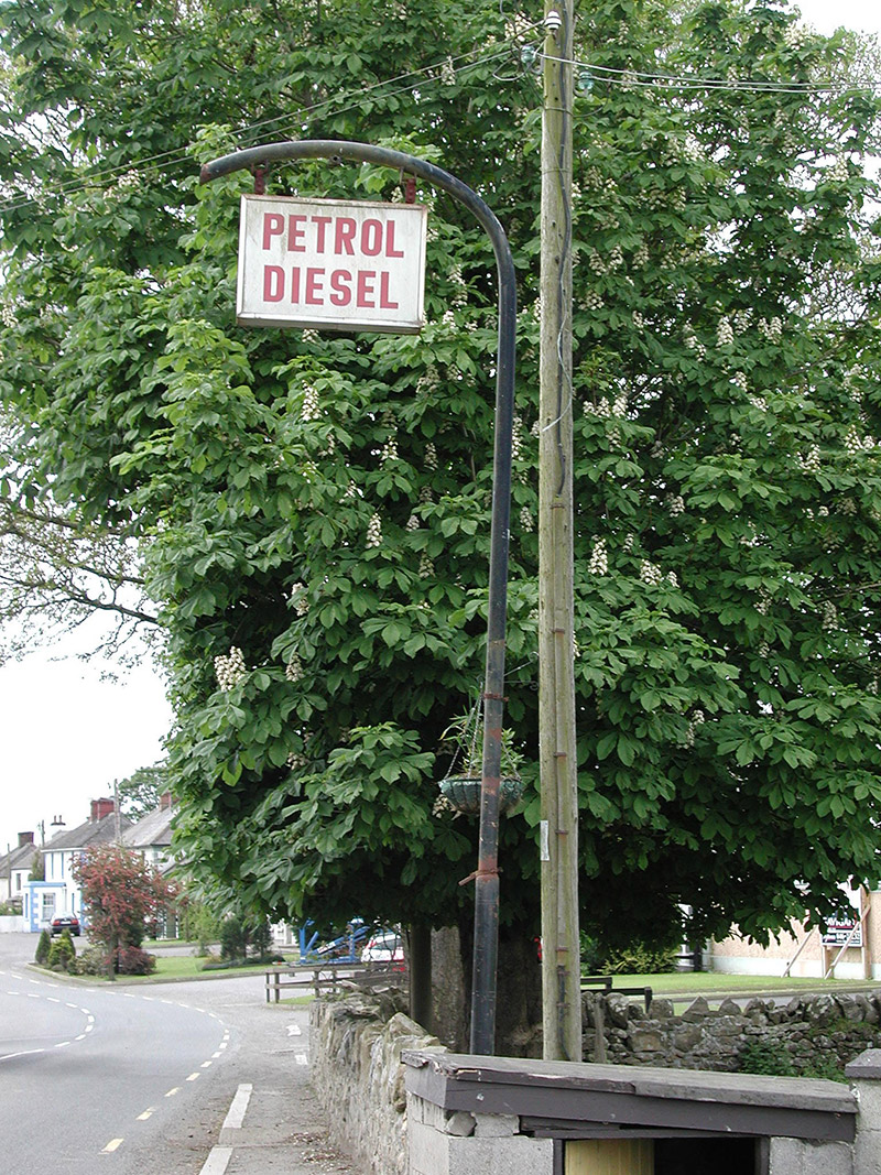 filling pump/station156 ydJohn Mac MahonMemorial · 426 ydDeerparkMountain / peak · 530 ydNot indictedEnclosure · 629 ydEnclosure in Newtown (kells Lower By., Newtown Ed)Enclosure · 1203 ydThe GroveForest · 1432 ydBalreaskMountain / peak · 1615 yd
 Sweet Chestnut1.3 mi
 Moat of KilbegCastle, motte and bailey · 1.6 mi
 Headfort HouseCastle · 1.8 miKells Anglers Association MemorialMemorial · 2.0 mi
Pictures: National Inventory of Architectural Heritage; Miguel Angel Masegosa Martínez, Wikimedia Commons · CC BY 2.0; Garry Dickinson, Geograph · CC BY-SA 2.0; Robert Adam, Wikimedia Commons · Creative Commons Zero, Public Domain Dedication
More archaeology and monuments in County Meath · All of County Meath
What do you know about this place?