What is recorded here
The Grove is recorded as a forest in County Meath.
Places near here
Enclosure in Newtown (kells Lower By., Newtown Ed)Enclosure · 326 ydFox CovertForest · 642 ydNot indictedEnclosure · 803 ydDeerparkMountain / peak · 957 yd Plubber HouseHouse · 1044 ydPlubber HouseMill (water) · 1092 ydMoat of KilbegCastle, motte and bailey · 1397 ydNewtownMountain / peak · 1.0 miJohn Mac MahonMemorial · 1.0 miGravelstown CastleCastle, unclassified · 1.2 miOwenroe and Moynalty DrainageMemorial · 1.5 miSweet Chestnut2.0 mi
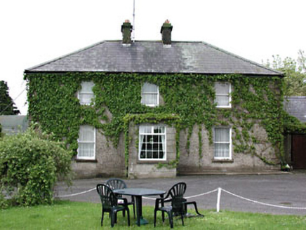 Plubber HouseHouse · 1044 yd
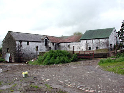 Plubber HouseMill (water) · 1092 yd
 Moat of KilbegCastle, motte and bailey · 1397 ydNewtownMountain / peak · 1.0 miJohn Mac MahonMemorial · 1.0 miGravelstown CastleCastle, unclassified · 1.2 miOwenroe and Moynalty DrainageMemorial · 1.5 mi
 Sweet Chestnut2.0 mi
Pictures: National Inventory of Architectural Heritage; Garry Dickinson, Geograph · CC BY-SA 2.0; Miguel Angel Masegosa Martínez, Wikimedia Commons · CC BY 2.0
More woods, forests and old trees in County Meath · All of County Meath
What do you know about this place?