
What is recorded here
Kilbeg Upper is a motte and bailey castle on an esker ridge in County Meath. Its grass-covered mound rises twelve metres at the SW edge and still carries a narrow causeway to a circular bailey beside it. The parish church stands less than a hundred metres to the ENE, so the castle may have watched over the same valley and the same people for generations.
Situated on the remnant of an esker ridge that extends off to the NE. The motte is a subcircular, flat-topped and grass-covered earthen mound (dims of top 14m NNE-SSW; 8m WNW-ESE; dims of base 44m NNE-SSW; 26m 37m WNW-ESE; H 7m at NE to 12m at SW) with a fosse surviving (at NNW: Wth of top 7m; ext. D 1.3m) W-NNW. The motte is connected by a causeway to a raised circular bailey (diam. 14m NE-SW) to the NE defined by scarps (H 2.5m at W to 4m at NE). The parish church of Kilbeg ME011-020----) is c. 70m to the ENE.
The above description is derived from the published 'Archaeological Inventory of County Meath' (Dublin: Stationery Office, 1987). In certain instances the entries have been revised and updated in the light of recent research.
Compiled by: Michael Moore
Date of revision: 7 June 2016
Amended: 15 December 2022
The monument record does not grant public access. Check the route and ask the landowner before entering private land.
- What survives
- Recorded monument
Places near here
 Owenroe and Moynalty DrainageMemorial · 1185 yd
 The GroveForest · 1397 yd
 Fox CovertForest · 1584 yd
 Enclosure in Newtown (kells Lower By., Newtown Ed)Enclosure · 1718 yd
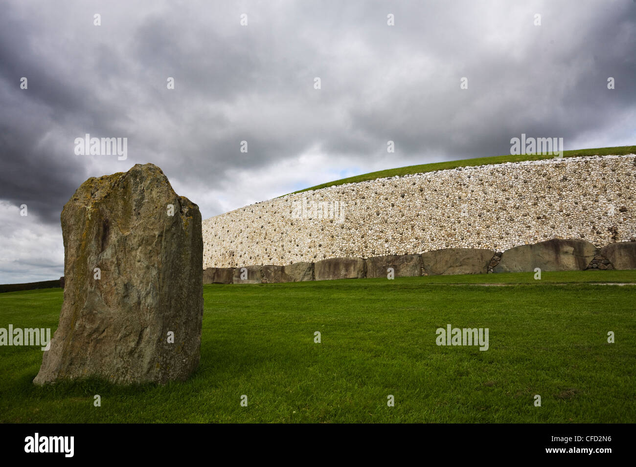 MoundArchaeological place · 1.1 mi
 GravelstownMountain / peak · 1.1 mi
 Gravelstown CastleCastle, unclassified · 1.2 mi
 DeerparkMountain / peak · 1.3 mi
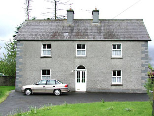 Reask Housefarm house · 1.3 mi
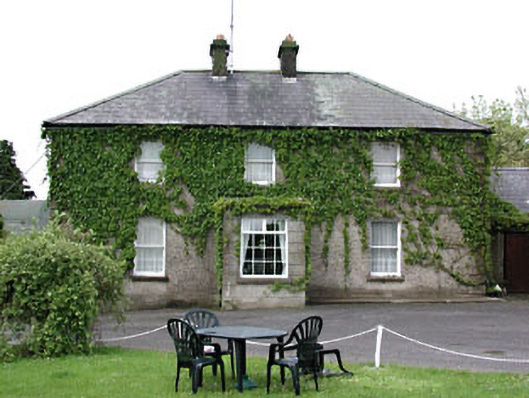 Plubber Househouse · 1.4 mi
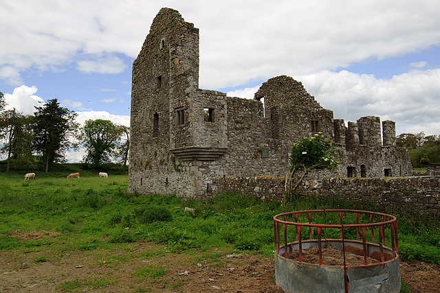 IndicatedHouse, fortified house · 1.6 mi
 John Mac MahonMemorial · 1.7 mi
Other information
Photo: Garry Dickinson · CC BY-SA 2.0