
What is recorded here
Situated on a rise in a fairly level landscape. The cropmark of an oval enclosure (dims c. 45m E-W; c. 30m N-S) defined by a single fosse is visible on Google Earth (02/07/2018). It is cut by the cropmark of a WNW-ESE field drain towards the S edge. The enclosure is also faintly visible on MapGenie Imagery (2013-18), and it was first reported by M. Tunney.
See the attached enhanced view from Google Earth (02/07/2018)
compiled by: Michael Moore
Date of upload: 26 July 2022
The monument record does not grant public access. Check the route and ask the landowner before entering private land.
- What survives
- Recorded monument
Places near here
 The GroveForest · 326 yd
 Not indictedEnclosure · 593 yd
 Fox CovertForest · 635 yd
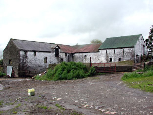 Plubber Housemill (water) · 783 yd
 DeerparkMountain / peak · 798 yd
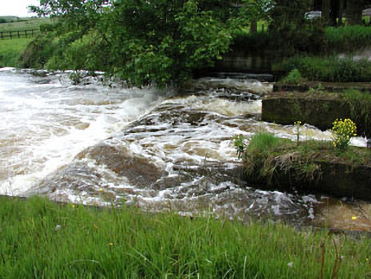 weirweir · 1120 yd
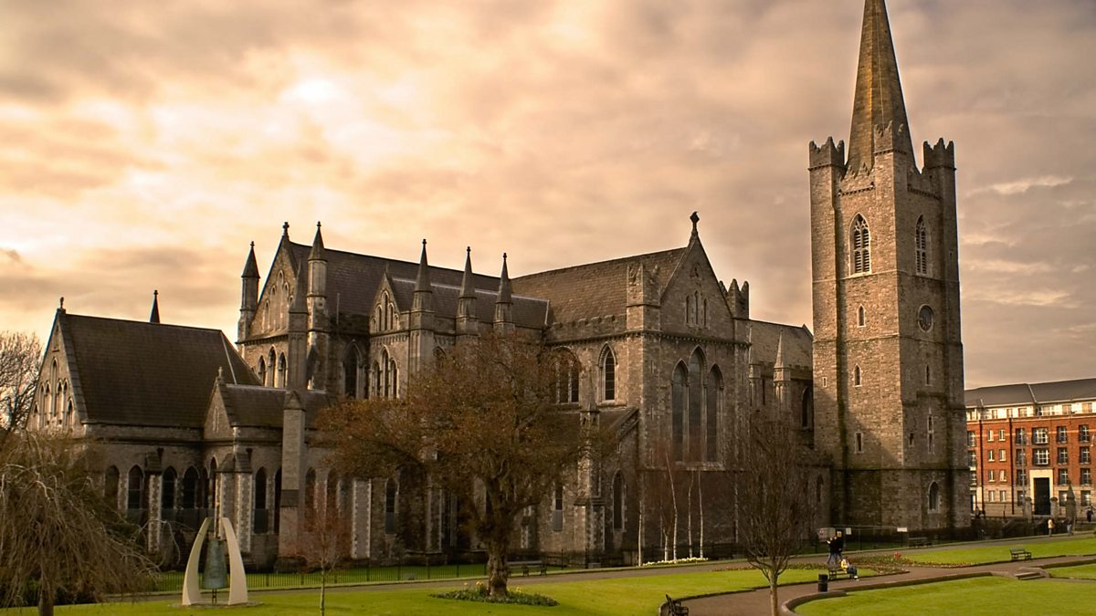 St. Patricks WellHoly well · 1203 yd
 John Mac MahonMemorial · 1606 yd
 Moat of KilbegCastle, motte and bailey · 1718 yd
 Gravelstown CastleCastle, unclassified · 1.3 mi
 GravelstownMountain / peak · 1.4 mi
 Owenroe and Moynalty DrainageMemorial · 1.6 mi
Other information
Photo: Credit not shown in the picture search · Rights wording not checked; contact us if this picture should be removed