What is recorded here
Described as St Kieran’s Well on the 1839 ed of the OS 6-inch map. It is located in the fold of a small E-W stream that is c. 30m to the S on the W-facing slope of the N-S River Slaney valley. According to John O’Donovan writing c. 1840 the pattern was held here on the 9th February until c. 1810 (O’Flanagan 1933, vol. 2, 97). This is now a wooded, boggy hollow but there is no evidence of a well. St Cooran’s well (WX026-078----) is c. 200m to the NE.
Described as St Kieran’s Well on the 1839 ed of the OS 6-inch map. It is located in the fold of a small E-W stream that is c. 30m to the S on the W-facing slope of the N-S River Slaney valley. According to John O’Donovan writing c. 1840 the pattern was held here on the 9th February until c. 1810 (O’Flanagan 1933, vol. 2, 97). This is now a wooded, boggy hollow but there is no evidence of a well. St Cooran’s well…
From the National Monuments Service (Archaeological Survey of Ireland) record WX026-025
The monument record does not grant public access. Check the route and ask the landowner before entering private land.
- What survives
- Recorded monument
Places near here
Photo credits
- National Inventory of Architectural Heritage
- Garry Dickinson, Geograph · CC BY-SA 2.0
- MikeWest Wexford, Wikimedia Commons · CC BY-SA 4.0
- George Cruikshank, Wikimedia Commons · Public domain
- David Purchase, Geograph · Creative Commons Attribution-ShareAlike 2.0
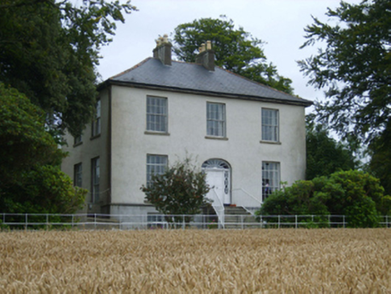 Rochfort HouseFarm house · 166 ydIndicatedHoly well · 218 ydBlack Castle (in ruins)Castle, tower house · 551 yd
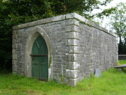 Edermine Church (Edermine)Mausoleum · 773 yd
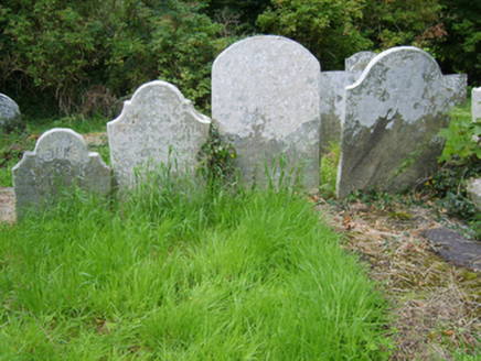 Edermine Church (Edermine)Graveyard/cemetery · 787 yd
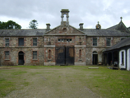 Edermine HouseFarmyard complex · 795 yd
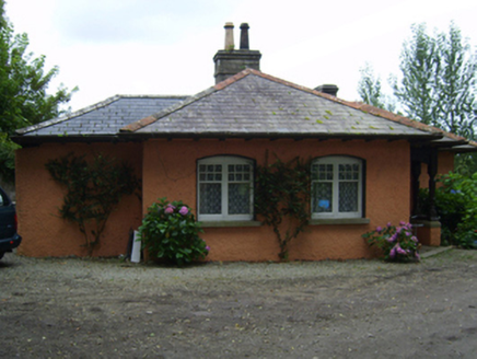 Edermine HouseGate lodge · 795 ydScurlocksbush HillMountain / peak · 1.3 mi
 Wilton HouseCastle, unclassified · 2.4 mi
 Enniscorthy CastleMuseum · 2.9 mi
_p184_Defeat_at_Vinegar_Hill_(cropped).jpg/250px-MAXWELL(1845)_p184_Defeat_at_Vinegar_Hill_(cropped).jpg "Photo: George Cruikshank, Wikimedia Commons · Public domain") Battle of Vinegar HillMajor battlefield · 2.9 mi
Battle of Vinegar HillMajor battlefield · 2.9 mi Clonmore Grave YardGraveyard · 3.2 mi
More archaeology and monuments in County Wexford · All of County Wexford
What do you know about this place?