Places near here
Photo credits
- National Inventory of Architectural Heritage
- David Purchase, Wikimedia Commons · CC BY-SA 2.0
- Garry Dickinson, Geograph · CC BY-SA 2.0
- David Purchase, Geograph · Creative Commons Attribution-ShareAlike 2.0
- Colin Park, Geograph · CC BY-SA 2.0
- Poleary91, Wikimedia Commons · CC BY-SA 4.0
- Break0990, Wikimedia Commons · CC BY-SA 4.0
- Darrin Antrobus, Wikimedia Commons · CC BY-SA 2.0
- John M, Wikimedia Commons · CC BY-SA 2.0
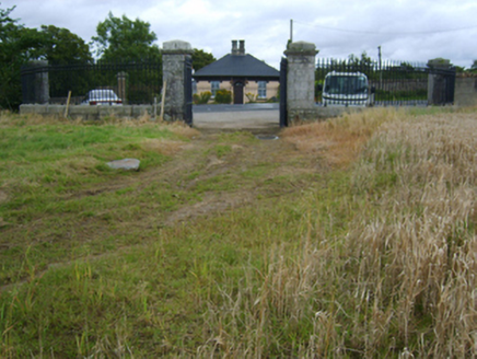 Edermine HouseGate lodge · 1505 yd
Explorer Tom Edermine House in Edermine has a ghost who is too lazy to haunt it, so he just sits in the corner playing cards…
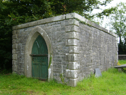 Edermine Church (Edermine)Mausoleum · 1587 yd
Explorer Tom Edermine Church (Edermine) is having a bit of a drama with the tree next door about whose shadow looks better. It’s a…
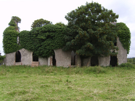 Kilgibbon HouseFarm house · 1.3 mi
Explorer Tom Kilgibbon House is an ivy-covered shell that started as a bet between two lads who couldn’t agree on which pub was…
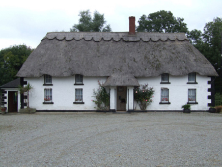 farm house1.3 mi
Explorer Tom Farm house in Coolnaboy has a ghost named Paddy who is too lazy to haunt it because he’d have to walk upstairs. It’s…
 Mackmine CastleCastle, tower house · 1.9 mi
Explorer Tom Mackmine Castle has been stuck in a feud with its own shadow for centuries because neither can figure out who actually…
 Wilton HouseCastle, unclassified · 3.5 mi
Explorer Tom Wilton House had a ridiculous smuggling story where people supposedly hid barrels of whiskey in the walls, but I think…
 Clonmore Grave YardGraveyard · 3.6 mi
Explorer Tom Clonmore graveyard would put 'lived long, napped often' on its tombstone if it had one of its own. It sits on a knoll…
 Vinegar HillMountain / peak · 3.8 mi
Explorer Tom Vinegar Hill rises above Enniscorthy with a name that sounds as though the countryside has been arguing with a bottle…
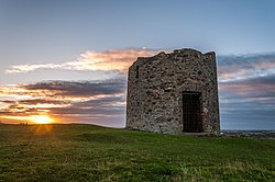 Windmill (in ruins)Windmill · 3.8 mi
Explorer Tom Windmill in Templeshannon had a matchmaker who worked there, pairing up anyone who lingered too long near the slit…
 Battle of Vinegar Hill, 1798Monument · 3.9 mi
Explorer Tom Battle of Vinegar Hill 1798 started because two lads made a bet in the pub that nobody could tell where the hill ended.…
 Battle of EnniscorthyBattle · 4.0 mi
Explorer Tom The Battle of Enniscorthy happened because someone lost an apple pie in the mud. The wind has been picking at the site…
 1798 MemorialStatue · 4.0 mi
Explorer Tom The 1798 Memorial in Wexford would explain the 1800s to a teenager by calling them 'mid' and complaining about the lack…
More mountains and hills in County Wexford · All of County Wexford

What do you know about this place?Tap to add a comment or ask a question