
What is recorded here
Marked 'Windmill (in ruins)' on the 1839 and 1940 eds. of the OS 6-inch map. It is situated on the summit of Vinegar Hill overlooking the N-S River Slaney c. 700m to the W and Enniscorthy town. This is a cylindrical tower (ext. diam 4.6m; int. diam. 3.4m) surviving to the first floor (H c. 4.5m). There is one doorway, rebuilt in brick, on the W side and there are three slit windows at the first floor. See the attached view from SW
Compiled by: Michael Moore
Date of upload/revision: 6 June, 2012
This monument is subject to a preservation order made under the National Monuments Acts 1930 to 2014 (PO no. 72/1939) and it is a National Monument in state guardianship, No. 392.
From the National Monuments Service (Archaeological Survey of Ireland) record WX020-032
The monument record does not grant public access. Check the route and ask the landowner before entering private land.
- What survives
- Recorded monument
Places near here
Photo credits
- National Inventory of Architectural Heritage
- Colin Park, Geograph · CC BY-SA 2.0
- MikeWest Wexford, Wikimedia Commons · CC BY-SA 4.0
- George Cruikshank, Wikimedia Commons · Public domain
- Garry Dickinson, Geograph · CC BY-SA 2.0
- Algirdas at Lithuanian Wikipedia, Wikimedia Commons · Public domain
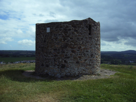 mill (wind)4 yd
 Vinegar HillMountain / peak · 25 yd
 Historic buildingOfficially recorded historic building · 339 yd
 Historic buildingOfficially recorded historic building · 346 yd
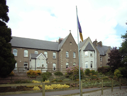 Convent of MercyConvent/nunnery · 612 yd
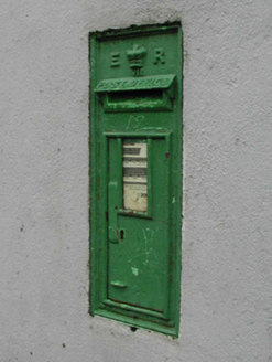 post box618 yd
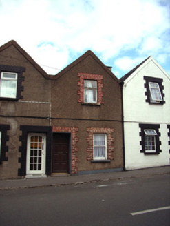 Historic buildingOfficially recorded historic building · 633 yd
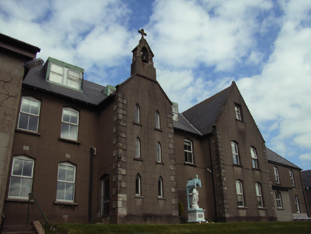 Convent of MercyConvent/nunnery · 690 yd
 Enniscorthy CastleMuseum · 1003 yd
_p184_Defeat_at_Vinegar_Hill_(cropped).jpg/250px-MAXWELL(1845)_p184_Defeat_at_Vinegar_Hill_(cropped).jpg "Photo: George Cruikshank, Wikimedia Commons · Public domain") Battle of Vinegar HillMajor battlefield · 1199 yd
Battle of Vinegar HillMajor battlefield · 1199 yd Wilton HouseCastle, unclassified · 3.9 mi
 Pedunculate Oak6.1 mi
More archaeology and monuments in County Wexford · All of County Wexford
What do you know about this place?