What is recorded here
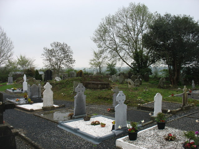
Located on a slight knoll at the E edge of a plateau overlooking a small NW-SE stream c. 70-100m to the N and E. The parish church of Clonmore (WX031-055002-) is within a rectangular graveyard (dims. c. 50m E-W; c. 30m N-S) defined by stone-faced earthen banks. The font from here (WX031-055004-) was moved to the garden of the parochial house at Bree (WX031-064----).
From the National Monuments Service (Archaeological Survey of Ireland) record WX031-055002
The monument record does not grant public access. Check the route and ask the landowner before entering private land.
- What survives
- Recorded monument
Places near here
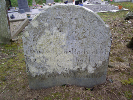 Clonmore GraveyardGraveyard/cemetery · 3 yd
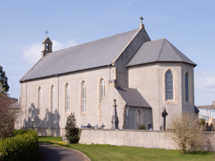 Catholic Church of the AssumptionChurch/chapel · 770 yd
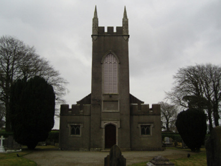 Saint John's Church (Clonmore)Church/chapel · 1.0 mi
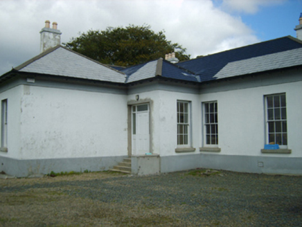 Clonmore GlebeRectory/glebe/vicarage/curate's house · 1.2 mi
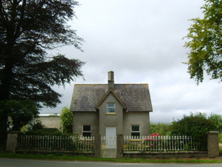 Macmine CastleGate lodge · 1.4 mi
 Wilton HouseCastle, unclassified · 2.1 mi
_(geograph_5442502).jpg/250px-Castles_of_Leinster-_Adamstown,_Wexford_(1)_(geograph_5442502).jpg "Photo: Mike Searle, Wikimedia Commons · CC BY-SA 2.0") Castle (in ruins)Castle, tower house · 5.0 mi
Castle (in ruins)Castle, tower house · 5.0 mi Carrickbyrne HillMountain / peak · 8.2 mi
 Pedunculate Oak9.9 mi
 Sweet Chestnut18 mi
 Graveyard21 mi
 Cloghabrona Druids AltarPortal tomb · 21 mi
Pictures: National Inventory of Architectural Heritage; Garry Dickinson, Geograph · CC BY-SA 2.0; Mike Searle, Wikimedia Commons · CC BY-SA 2.0; Richard Webb, Geograph · CC BY-SA 2.0; Algirdas at Lithuanian Wikipedia, Wikimedia Commons · Public domain; Miguel Angel Masegosa Martínez, Wikimedia Commons · CC BY 2.0; A.-K. D., Wikimedia Commons · CC BY-SA 4.0; Wanfried-Dublin, Wikimedia Commons · CC BY-SA 4.0
More archaeology and monuments in County Wexford · All of County Wexford
What do you know about this place?