What is recorded here
Machernevin or Maghairnidhe was held together with Ballymagir in Bargy (WX046-052001-) by Alina de Heding in 1247 by two knights’ fees from William de Vallence, but they had passed, probably through her marriage, to the Devereux family by 1260-1, and in 1324 they were both held by Stephen Devereux (Brooks 1950, 96-100). The name had changed to Adamstown by the late 16th century and the tower house was built by Nicholas Devereux and his wife Katherine, the daughter of Sir Richard Power of Curraghmore, Co. Waterford (WA008-005----), in 1556 as proclaimed by the memorial slab, now in Adamstown House (WX031-056----). This was originally over the gate of the bawn that enclosed c. 1 acre around the tower house (O’C. Redmond 1887-8; Ffrench 1889). According to the Civil Survey (1654-6) Nicholas Devereux owned most of the parish of Adamstown together with the ‘faire castle’ (Simington 1953, 201-03), but by the 19th century much of this land was owned by the Downes family. The four storey tower house (ext. dims. 9.35m NW-SE; 8.95m NE-SW) with a base batter and granite quoins is situated on a slight SE-facing slope. It survived complete until February 1961 when the N corner fell (Jeffrey 1970, 46-7). The pointed entrance with evidence of a yett, now destroyed, is towards the N end of the NE wall. It led through a now-destroyed lobby to the vaulted ground floor which lacks a loft but had three gun loops at each surviving angle, that at the E angle being within a chamber in the thickness of the wall. From the entrance lobby mural stairs that are protected by a murder hole operated from second floor lead to the first floor, which has a robbed fireplace and two tall lights with rounded heads and gun-loops beneath in the SW wall. There are large robbed windows in the SE and NW walls, and granite corbels in the NE and SW walls supported the ceiling. A newel stairs, now destroyed, at the E angle leads to the second floor through a lintelled doorway. This floor has a window with two round-headed lights in the SE wall, a fireplace and a round-headed light with a gun-loop below in the SW wall, and a chamber with a gun-loop in the outer wall and from which the murder hole was operated in the NE wall. The newel stairs continue to the third storey that has a single light window on each surviving wall. The tower house is at the N corner of a square enclosure (dims. c. 40m x c. 40m) defined by slight scarps and is also centrally placed within a grass-covered bawn now visible as a grass-covered recatngular area (dims. c. 70m NE-SW; c. 60m NW-SE) defined by scarps. This is the bawn of one English acre with walls ‘20 feet high (H c. 6m)’ that survived with corner towers into the 19th century and which had other internal structures (Ffrench 1889, 84-5). The memorial stone (WX031-019002-) was taken from over the gateway of the bawn. (O’Callaghan 1980-1, 31-2)
The above description is derived from the published 'Archaeological Inventory of County Wexford' (Dublin: Stationery Office, 1996).
Machernevin or Maghairnidhe was held together with Ballymagir in Bargy (WX046-052001-) by Alina de Heding in 1247 by two knights’ fees from William de Vallence, but they had passed, probably through her marriage, to the Devereux family by 1260-1, and in 1324 they were both held by Stephen Devereux (Brooks 1950, 96-100). The name had changed to Adamstown by the late 16th century and the tower house was built by…
From the National Monuments Service (Archaeological Survey of Ireland) record WX031-019001
This remains an important historical record, but the official description says the monument is no longer visible or has been destroyed. The monument record does not grant public access. Check the route and ask the landowner before entering private land.

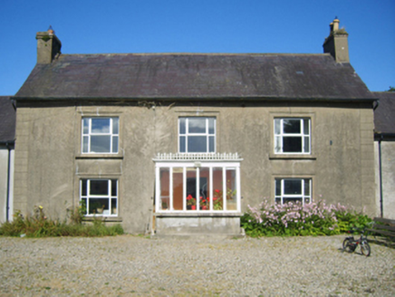 Adamstown HouseFarm house · 581 yd
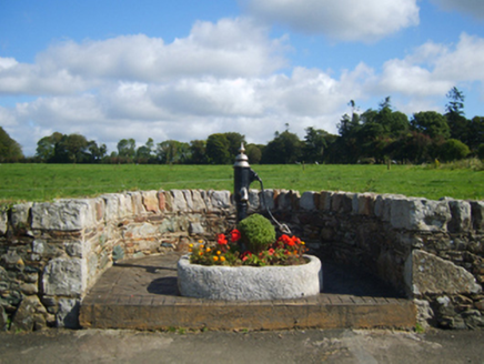 water pump854 yd
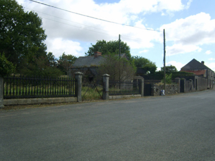 Adamstown HouseGates/railings/walls · 887 yd
 Saint Abban's Catholic ChurchChurch/chapel · 912 yd
 Carrickbyrne HillMountain / peak · 3.3 mi
 Clonmore Grave YardGraveyard · 5.1 mi
 Wilton HouseCastle, unclassified · 6.1 mi
 Taghmon CastleCastle · 6.2 mi
 Font (present location) in Grange LowerFont (present location) · 20 mi
 Tullaherin Church and Round TowerVisitor information · 21 mi
 Hawthorn24 mi
 St. Mogarra’s WellSpring · 26 mi
What do you know about this place?