
What is recorded here
Incorporated into a N-S field fence in an area of low-lying pasture to S of the Owenbeg River. A limestone slab (L c. 2.2m; T 1m at W end; 0.12m at E end; H c. 1m), with a rough convoluted moss-covered surface, is set on end in the ground. The long axis of the stone is perpendicular to the line of the fence and the stone protrudes from both the W and E faces of the fence. The stone is wedge-shaped in plan, with the broad W end gradually tapering to a narrow sharp-edged E end. The stone protrudes by c. 0.2-0.3m from the W side of the fence and 1.4m from the E side. A perforation (Wth 0.13m; max. H 0.35m) through the thickness of the stone occurs at the base of the stone close to the E face of the field fence. Due to overgrowth on the fence and the position of the perforation it is difficult to examine but it appears to be a natural solution hole, rather irregular and decreasing in size from S to N. St Fechin's well (SL026-010----) is c. 350m to W and St Fechin's church and bed (SL026-011001- and SL026-011002-) are c. 400m to SW. An enclosure (SL026-012001) lies c. 30m to N.
The above description is derived from the published 'Archaeological Inventory of County Sligo' compiled by Ursula Egan, Elizabeth Byrne, Mary Sleeman with Sheila Ronan and Connie Murphy (Dublin Stationery Office, 2005).
Date of upload: 18 January 2008
St. Fechín's Stone at Billa is traditionally associated with St. Fechín, an early Irish Christian saint known for his monastic foundations and healing miracles. The stone's placement and veneration suggest a link to local pilgrimage or ritual practices, though specific cures or folklore connected to this site are not well documented.
The monument record does not grant public access. Check the route and ask the landowner before entering private land.
- What survives
- Recorded monument
Places near here
 Indicated (1838).Enclosure · 70 yd
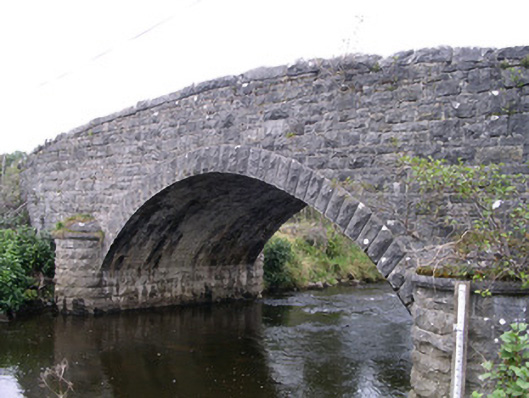 Billa Bridgebridge · 317 yd
 St. Fechins WellHoly well · 398 yd
 Moymlough Castle (in Ruins)Castle, tower house · 1247 yd
 Church (in Ruins)Church · 1690 yd
 CroaghaunMountain / peak · 1.3 mi
 SlievewardMountain / peak · 1.4 mi
 Castle (Site of)Castle, unclassified · 2.1 mi
 Teeling MonumentMemorial · 2.5 mi
 Battle of Collooneybattle · 2.5 mi
 RinnatalleenHeadland · 2.9 mi
 European ashEuropean ash · 4.5 mi
Other information
Photo: Credit not shown in the picture search · Rights wording not checked; contact us if this picture should be removed