
What is recorded here
In pasture, in the NW corner of a field, on a slight rise and c. 100m S of the Owenbeg River. Indicated on the 1838 OS 6-inch map as an oval enclosure. Now levelled; the remains consist of an oval area (c. 30m NW-SE; 23m NE-SW), clipped at NW and N by field boundaries and defined by a degraded scarp (H 1m) extending for c. 15m N-ESE in a gentle curve, coinciding with a low natural break in slope. Occasional stones protrude from the sod along the line of the scarp. The scarp peters out at SE but a barely discernible undulation continues SE-SW, truncated at SW by a linear field boundary on a N-S axis. Where the field boundary (L 12m; Wth 2.5-3m; H on E side 0.8m; H on W side 0.8m) overlies the presumed line of the enclosure W-NW, it has a broad slumped W face and is noticeably stonier and more substantial than elsewhere. St Fechin's Stone (SL026-012002-) lies c. 30m to S.
The above description is derived from the published 'Archaeological Inventory of County Sligo' compiled by Ursula Egan, Elizabeth Byrne, Mary Sleeman with Sheila Ronan and Connie Murphy (Dublin Stationery Office, 2005).
Date of upload: 18 January 2008
The monument record does not grant public access. Check the route and ask the landowner before entering private land.
- What survives
- Recorded monument
Places near here
 St. Fechins StoneRitual site, holy/saint's stone · 70 yd
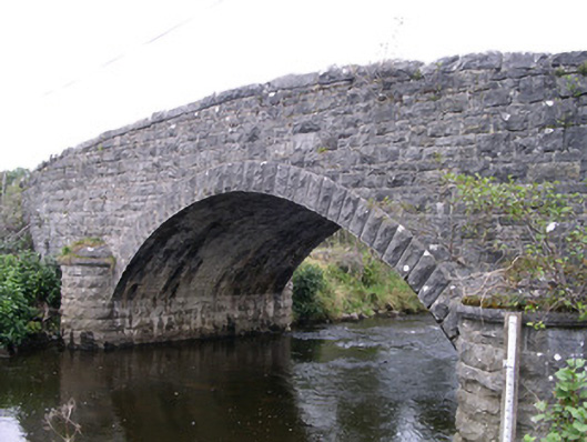 Billa Bridgebridge · 286 yd
 St. Fechins WellHoly well · 421 yd
 Moymlough Castle (in Ruins)Castle, tower house · 1293 yd
 Church (in Ruins)Church · 1667 yd
 CroaghaunMountain / peak · 1.3 mi
 SlievewardMountain / peak · 1.4 mi
 Castle (Site of)Castle, unclassified · 2.1 mi
 Teeling MonumentMemorial · 2.5 mi
 Battle of Collooneybattle · 2.5 mi
 RinnatalleenHeadland · 2.9 mi
 European ashEuropean ash · 4.5 mi
Other information
Photo: Credit not shown in the picture search · Rights wording not checked; contact us if this picture should be removed