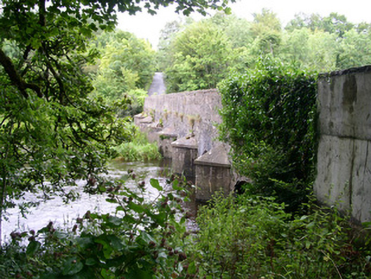
What is recorded here
Seven-span stone road-over-river bridge, built c. 1840. Rubble limestone walling, insitu concrete triangular cutwaters with pyramidal caps to east side c.1930, original cutwaters to west side extend to full height of parapet forming refuges some with stone slab seats. Segmental-headed arches, rubble stone voussoirs. Rubble stone parapet to west, thinner parapet to east rebuilt c. 1930. Bitmac carriageway, narrow grass verges to either side. Spans north-south across Owenmore River.
This attractive bridge over the Owenmore River has unusual feature cutwaters extended upwards to form refuges. The peaceful location on a wide stretch of river enhances the picturesque setting.
This does not grant access. Most recorded buildings are privately owned; view them only from public ground unless the owner allows entry.
Places near here
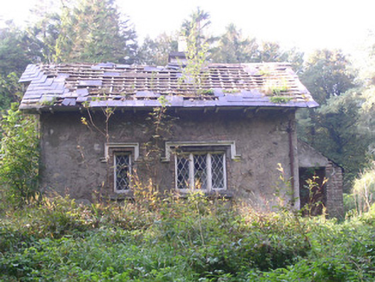 Annaghmore Housegate lodge · 75 yd
 Indicated (1838).Fairy fort / earthen ringfort · 248 yd
 Enclosure in Annaghmore (tirerrill By.)Enclosure · 300 yd
 Bleach MillMill, bleaching · 875 yd
 Moymlough Castle (in Ruins)Castle, tower house · 1.6 mi
 Castle (Site of)Castle, unclassified · 1.9 mi
 Tullaghan HillMountain / peak · 2.7 mi
 European ashEuropean ash · 3.0 mi
 CroaghaunMountain / peak · 3.1 mi
 ElderElder · 3.1 mi
 James MorrisonMemorial · 4.1 mi
 RinnatalleenHeadland · 4.7 mi
Other information
Photo: National Inventory of Architectural Heritage · Website use allowed for educational or private purposes with source credit