
What is recorded here
Not included in the SMR (1989) but listed in the RMP (1995) and classified 'Mill'. On the SW bank of the Owenmore river, at the end of an old trackway flanked by a millrace. The mill is named 'Bleach Mill' on the 1838 edition of the OS 6-inch map. The remains of a rectangular structure (c. 26m NW-SE; c. 8m NE-SW) are built into a NE-facing slope. The SE wall stands to two storeys but elsewhere the walls are low. There are four stone arched window opes in the NE wall on the ground floor with remains of windows overhead. There is a central door ope in the SE wall. The remains of a two-storey projection is at the NW end of the NE wall. Two deep wheel-pit channels (long axis NE-SW), one with flowing water, cross the mill off centre to NW. A millrace (Wth 4m; D 1.35m) is taken from the river c. 350m to E. A bleach green named on the 1838 OS 6-inch map to S of the mill is now a pasture field. The remains of the 19th-century Thorn Hill Corn Mill are c. 200m to SE. The remains of a bridge over the Owenmore river survives between the two mills. The present bridge c. 400m to E, named Ballynacarrow Bridge, is a 19th-century five-arched bridge. This is probably post-1700 AD in date.
Compiled by: Archaeological Survey Unit, UCC
Date of upload: 11 January 2012
The monument record does not grant public access. Check the route and ask the landowner before entering private land.
- What survives
- Recorded monument
Places near here
 Indicated (1838).Fairy fort / earthen ringfort · 849 yd
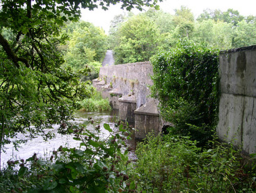 Ardcree Bridgebridge · 876 yd
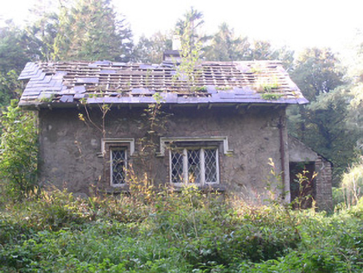 Annaghmore Housegate lodge · 890 yd
 IndicatedFairy fort / earthen ringfort · 1078 yd
 Moymlough Castle (in Ruins)Castle, tower house · 1.9 mi
 Castle (Site of)Castle, unclassified · 2.4 mi
 European ashEuropean ash · 2.5 mi
 ElderElder · 2.7 mi
 Tullaghan HillMountain / peak · 2.9 mi
 CroaghaunMountain / peak · 3.4 mi
 James MorrisonMemorial · 4.3 mi
 RinnatalleenHeadland · 5.0 mi
Other information
Photo: Credit not shown in the picture search · Rights wording not checked; contact us if this picture should be removed