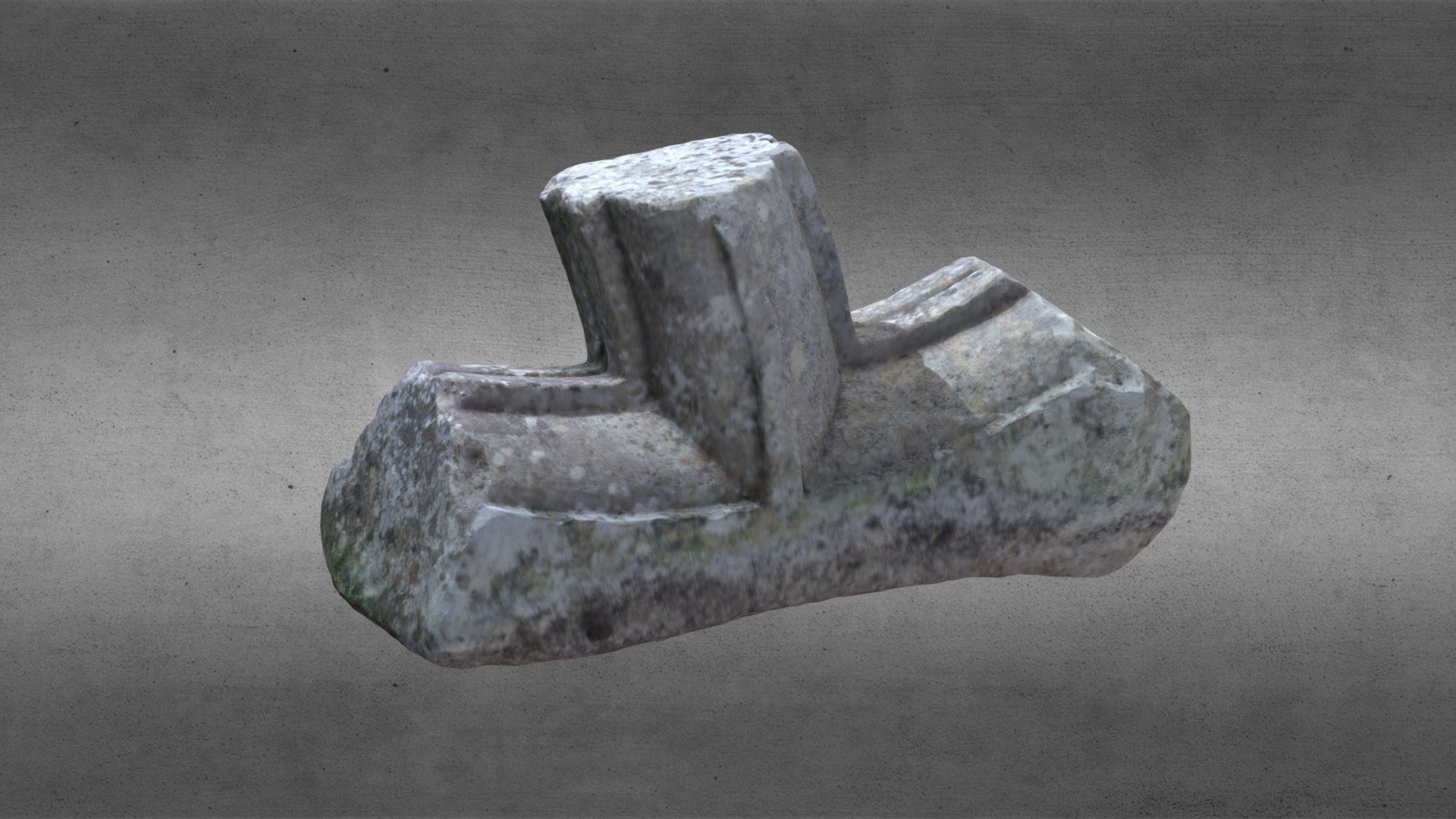
What is recorded here
In a low-lying position, c. 600m NW of the site of St Coman's church site (RO039-043006-). An overgrown hollow (diam. c. 4m; D 0.5m) which is now dry was, according to J. O'Donovan in the 1830s, venerated in the 19th century when a rag bush stood beside it (O' Flanagan 1931, vol. 1, 46). The crucifixion plaque now in Chapel Lane (RO039-043005-) originally may have come from here (Siggins 1998c). Excavation (04E1413) revealed the triangular shape of the natural spring (dims 4.45m x 3.65m), recovering modern artefacts in its upper layers. A rectangular pit (RO039-047001-) (dims 1.5m x 0.8m; D 0.35m) lay just to the N, and another rectangular pit (RO039-047002-) (dims 2.35m x 2.1m; D 0.3m) was just to the SE, but no artefacts were recovered from either pit, or the well. (Lohan 2007)
Compiled by: Michael Moore
Date of upload: 24 August 2010
Linked to St. Coman, an early Irish saint associated with monastic foundations in County Roscommon, the well was historically venerated for its supposed healing properties. Local tradition held that the site was used for ritual cleansing or pilgrimage, though it is now dry and overgrown.
The monument record does not grant public access. Check the route and ask the landowner before entering private land.
- What survives
- Recorded monument
Places near here
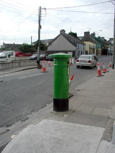 Historic buildingOfficially recorded historic building · 429 yd
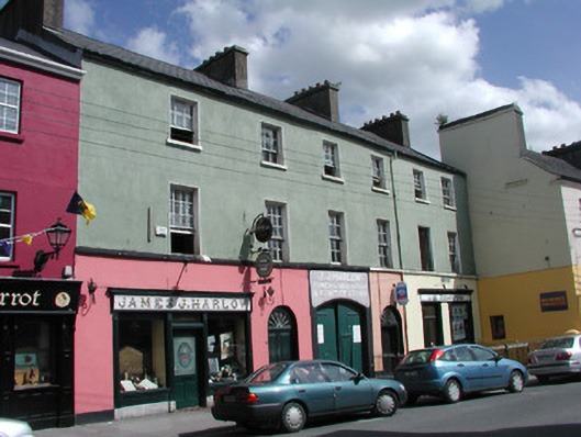 James J. Harlowhouse · 440 yd
 Gatehouse in Ardnanagh,ballypheasanGatehouse · 496 yd
 Roscommon CastleCastle · 745 yd
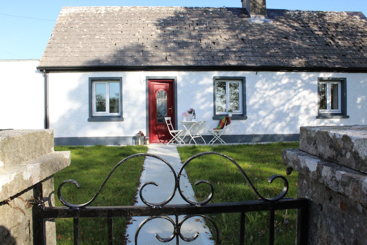 IndicatedHouse, fortified house · 753 yd
 Lord's WellArchaeological place · 1139 yd
 Big IslandForest · 1.7 mi
 Little IslandForest · 1.7 mi
 CastleCastle, unclassified · 2.3 mi
 Hangman's HillMountain / peak · 5.2 mi
 Sally IslandIslet · 7.1 mi
 Priest's IslandIslet · 8.2 mi
Other information
Photo: Credit not shown in the picture search · Rights wording not checked; contact us if this picture should be removed