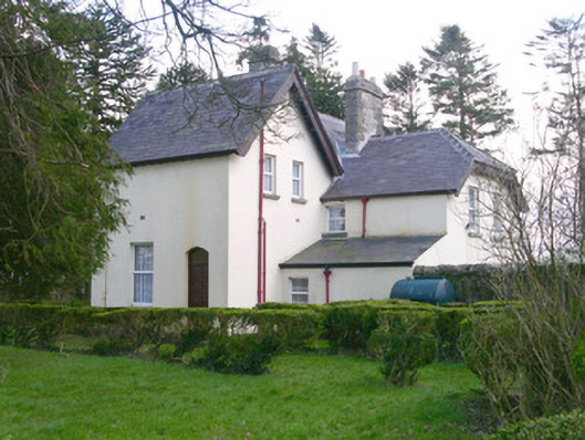
What is recorded here
Detached two-storey three-bay rendered house, built c. 1850. Rectangular main block with gabled breakfronts to north and south sides of east end. Hip-roofed porch with central enclosed section and open verandah to west, single-storey canted bay window to west gable, two-storey half-hipped return to north, single-storey lean-to in angle between east side of return and rear of main block. Pitched slate roofs, clay roll-top ridge and hip tiles, squared and coursed limestone chimneystacks, painted timber projecting bargeboards with carved details to south, profiled extruded aluminium gutters on painted timber fascias on exposed rafter ends. Painted smooth-rendered walling. Square-headed window openings, stone sills, uPVC casement windows. Painted square timber posts with stop-chamfers set on stone pedestals with profiled timber brackets carrying verandah roof. Square-headed entrance doorway to east end of verandah, painted vertically-sheeted timber double doors c. 1960. Gardens to south and east, yard to north. Four-bay two-storey roughcast outbuilding to north side of yard, pitched slate roof with slates in each course spaced apart from each other, painted six-over-six timber sash windows, corbelled sill to east gable. Rubble stone boundary wall with segmental rock-faced stone coping, rock-faced stone gate pillars with pyramidal caps.
This former shooting lodge is of note for its verandah, sturdy farmyard walls and rather grand outbuilding. It contributes much to the architectural and social character of the locality.
This does not grant access. Most recorded buildings are privately owned; view them only from public ground unless the owner allows entry.
Places near here
 Indicated (1838).Fairy fort / earthen ringfort · 11 yd
 LisleaFairy fort / earthen ringfort · 384 yd
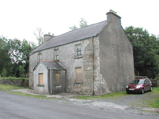 garda station/constabulary barracksgarda station/constabulary barracks · 590 yd
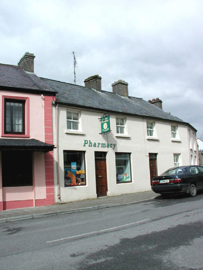 shop/retail outletshop/retail outlet · 690 yd
 Castle (in Ruins)Castle, tower house · 1.9 mi
 Castle Carragh in RuinsCastle, unclassified · 2.7 mi
 Lough Talt TrailVisitor information · 4.1 mi
 Carrick WoodWood · 4.1 mi
 KnockasliggaunMountain / peak · 4.5 mi
 New WoodWood · 4.5 mi
 Mass RockNamed rock · 4.9 mi
 Largan HillMountain / peak · 5.1 mi
Other information
Photo: National Inventory of Architectural Heritage · Website use allowed for educational or private purposes with source credit