
What is recorded here
Within a possible ecclesiastical enclosure (SL036-033002-). Standing on a low D-shaped sod-covered mound (H c. 1m; 13.5m N-S; 12.4m E-W) are fragmentary remains of a rectangular church (int. dims. 6.7m E-W; 4.4m N-S). Surviving sections of walling stand to c. 0.7m high but no doorway or window features are evident.…
Read the whole record
From the National Monuments Service (Archaeological Survey of Ireland) record SL036-033003
Places near here
Photo credits
- National Inventory of Architectural Heritage
- Maker not stated on source page, en.wikipedia.org
- Maker not stated on source page, commons.wikimedia.org
- Maker not stated on source page, www.dreamstime.com
- Maker not stated on source page, www.rte.ie
- Alan Reid, Geograph · CC BY-SA 2.0
- Maker not stated on source page, www.thejournal.ie
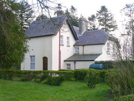 Shooting LodgeHunting/fishing lodge · 1228 yd
Explorer Tom The Shooting Lodge in Carns is trying to win a county fair for best verandah. It’s got sturdy farmyard walls and a…
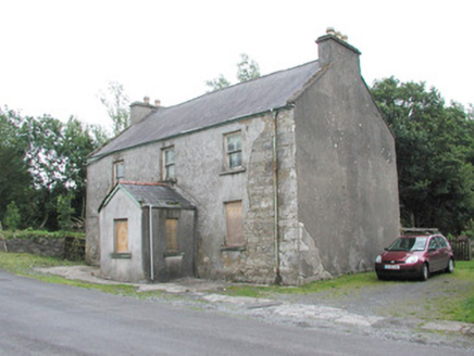 garda station/constabulary barracks1235 yd
Explorer Tom The old Garda station in Carns hears everything through its walls, including the neighbours arguing about whose turn it…
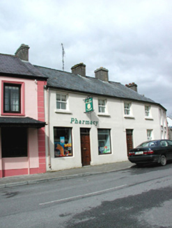 shop/retail outlet1295 yd
Explorer Tom Shop or retail outlet in Lislea [Corran By.] in Lislea [Corran By.], County Sligo would survive a zombie attack by…
 Earthwork in ToberroddyEarthwork · 1345 yd
Explorer Tom Earthwork in Toberroddy was designed by a mother-in-law who wanted everyone to stay exactly where she told them, which…
 bridge1350 yd
Explorer Tom The Bridge in Carns has an opinion of the road leading to it, and that opinion is ‘you’re too bumpy for my delicate…
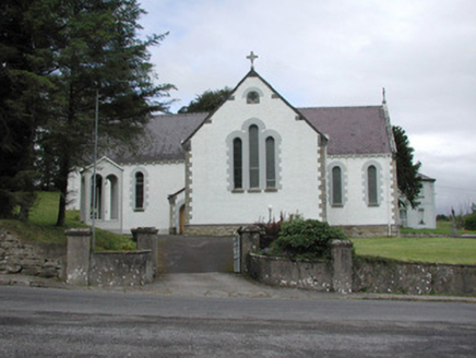 Catholic Church of Our Lady of the RosaryChurch/chapel · 1.4 mi
Explorer Tom Catholic Church of Our Lady of the Rosary in Kilmacteige has a bad poem written about it that rhymes 'rosary' with…
 Church in KilmacteigeChurch · 1.4 mi
Explorer Tom Church in Kilmacteige would post: 'Just survived another century of being mistaken for a college.' It’s basically…
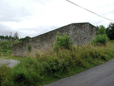 handball alley1.4 mi
Explorer Tom Handball alley in Kilmacteige would say in a job interview 'I have excellent reflexes but terrible social skills'…
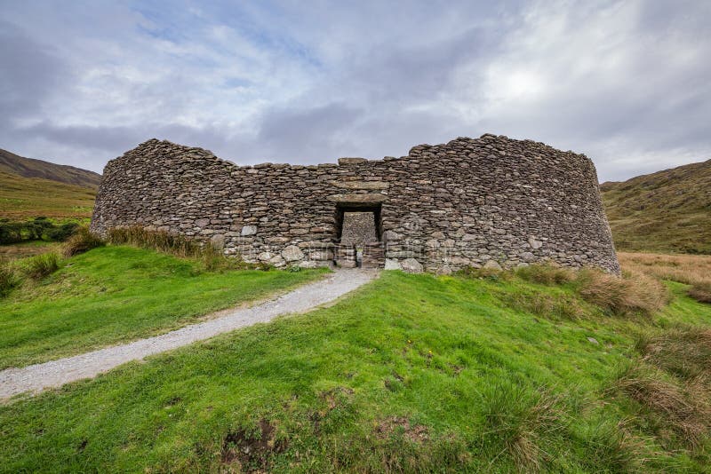 Fairy fort / stone ringfort in GlennawooFairy fort / stone ringfort · 1.5 mi
Explorer Tom Glennawoo’s stone ringfort complains that the wind picks on it because it terraced itself too sloppily into the…
 Tourlestrane GAAGAA ground · 2.3 mi
 Largan HillMountain / peak · 4.5 mi
Explorer Tom Largan Hill in County Sligo is strictly run by a terrier who barks at any cloud that passes overhead. The forest below…
 Curry GAAGAA ground · 5.1 mi
More historic places in County Sligo · All of County Sligo

What do you know about this place?Tap to add a comment or ask a question