![Bridge in Carns [car. by.]](https://www.buildingsofireland.ie/building-images-iiif/niah/images/survey_specific/original/32315001_1.jpg)
What is recorded here
Five-span limestone road-over-river bridge, built c. 1850. Three arches to east functioning, two arches to west infilled and river bank re-aligned to south. Tooled coursed ashlar limestone walling, ashlar string course at deck level, coursed rubble stone parapets, 'as found' stone parapet copings. Segmental arches, tooled ashlar voussoirs, coursed tooled ashlar piers between arches curving at north and south to form pointed cutwaters, ashlar impost string course, domed ashlar caps to cutwaters. Metal lamp standards with lanterns mounted on parapets, twin carriageway bitmac road surface. Located at west end of Aclare village, spaning east-west over Lough Talt River.
This good example of old stone bridge construction has elegant arches and exhibits well-crafted masonry. It forms the principal feature of a riverside recreation park and adds to the character of this rural area.
From the Buildings of Ireland (National Inventory of Architectural Heritage) record 32315001
This does not grant access. Most recorded buildings are privately owned; view them only from public ground unless the owner allows entry.
Places near here
Photo credits
- National Inventory of Architectural Heritage
- Richard Webb, Geograph · CC BY-SA 2.0
- Didier Descouens, Wikimedia Commons · CC BY-SA 4.0
- Alan Reid, Geograph · CC BY-SA 2.0
- Gordon Hatton, Geograph · CC BY-SA 2.0
- Pamela Norrington, Geograph · CC BY-SA 2.0
- Newbert12, Wikimedia Commons · CC BY-SA 4.0
- JohnArmagh, Wikimedia Commons · CC BY-SA 3.0
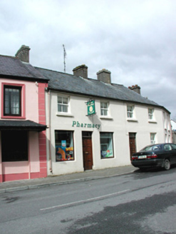 shop/retail outlet112 yd
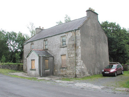 garda station/constabulary barracks216 ydCastle (in Ruins)Castle, tower house · 1.5 miCastle Carragh in RuinsCastle, unclassified · 2.8 mi
 Lough Talt TrailVisitor information · 3.9 mi
 Hawthorn4.7 mi
 Largan HillMountain / peak · 4.9 mi
 Mass RockNamed rock · 5.0 miHawthorn5.4 mi
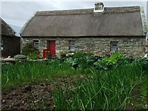 Hennigan's Heritage CentreHeritage attraction · 5.5 mi
 IndicatedWedge tomb · 7.0 mi
 Round Tower9.3 mi
More historic places in County Sligo · All of County Sligo
What do you know about this place?