
What is recorded here
Castle Carragh stands as a castle in ruins on the lower southern slopes of the Ox Mountains in County Sligo. Its L-shaped foundations and three contiguous rectangular rooms emerge from rough grazing, marked by a short run of closely fitted cut stone at the eastern end. The O'Hara castle was already ruined by 1636, yet its visible walls still outline the shape of a home that time has half-erased.
In rough grazing, on a terrace on the lower S slopes of the Ox Mountains. All that survives of this castle are the sod-covered foundations (Wth c. 4m; H c. 1.75m) of an L-shaped structure (7.5m E-W; 14m N-S to W; 8.6m N-S to E) conjoined on its N side with three contiguous rectangular structures (c. 4.5m E-W; respectively 6.5m, 3.1m and 4.5m N-S). A short run of exterior wall-facing is exposed at the E end of the N side of the L-shaped structure, consisting of cut blocks of stone closely fitted together. Named 'Castle Carragh' on the 1838 OS 6-inch map this is the remains of an O'Hara castle (O'Rorke ([1889], vol. 2, 14) which was already in ruins by 1636 (Wood-Martin 1882, 105, n. 1).
The above description is derived from the published 'Archaeological Inventory of County Sligo' compiled by Ursula Egan, Elizabeth Byrne, Mary Sleeman with Sheila Ronan and Connie Murphy (Dublin Stationery Office, 2005).
Date of upload: 18 January 2008
The monument record does not grant public access. Check the route and ask the landowner before entering private land.
- What survives
- Recorded monument
Places near here
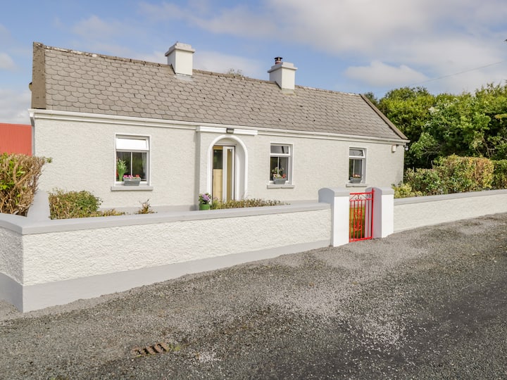 Dermot & Grania's BedArchaeological place · 140 yd
 Carrick WoodWood · 1.4 mi
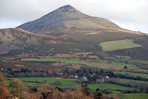 ToberaraghtHoly well · 1.5 mi
 New WoodWood · 1.9 mi
 Mass RockNamed rock · 2.3 mi
 Saint Attracta's Catholic Churchchurch/chapel · 2.3 mi
 Lough Talt TrailVisitor information · 2.5 mi
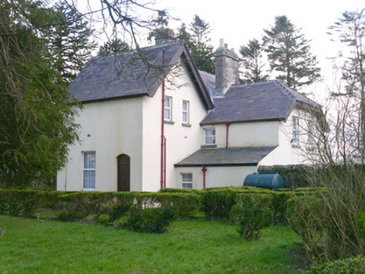 Shooting Lodgehunting/fishing lodge · 2.7 mi
 Castle (Site of)Castle, unclassified · 3.0 mi
 Largan HillMountain / peak · 3.6 mi
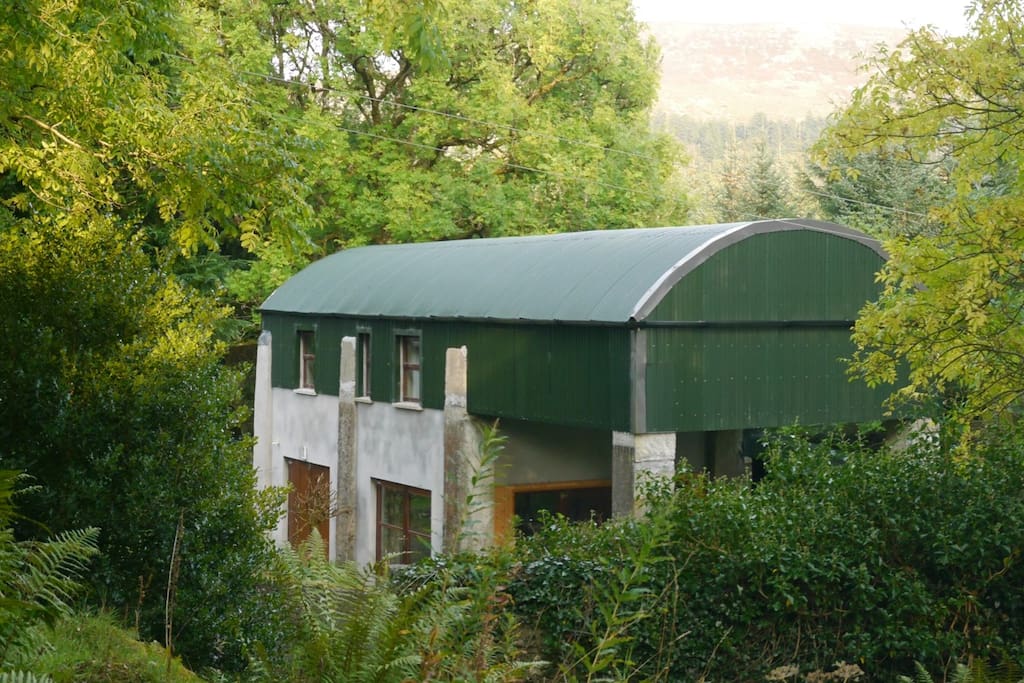 CloonacoolMountain / peak · 3.9 mi
 Castle (in Ruins)Castle, tower house · 4.0 mi
Other information
Photo: Credit not shown in the picture search · Rights wording not checked; contact us if this picture should be removed