What is recorded here
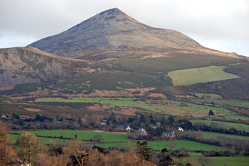
On a NE-facing slope of the Ox Mountains, above the Lough Talt River. The spring well, which is dedicated to St Attracta, is c. 1.5m below ground level with stone steps leading down to it, revetted and surrounded by a large D-shaped cairn of stones. There is a cross, depicted in white marble, above the well. Rosary beads adorn surrounding bushes and trees and Mass is celebrated here on 15th August each year. According to local tradition, a monster living in the glen was killed by St Athy or Araght, who came form the North of Ireland with a blessed staff given to her by St Patrick (Wood-Martin 1892, 357; O'Rorke [1889], vol. 2, 152). In 1942-4 it was recorded that close to the well is a place called 'Lug na paiste or Hollow of the Beast' (ITA). It was also recorded that the pilgrimage to the well commences on the last Sunday in July and continues until the end of August, with 'the annual pilgrimage day being the Sunday within the octave of the feast of St Attracta' (ITA). St Barbara's well (SL036-008----) lies c. 190m to NW.
The above description is derived from the published 'Archaeological Inventory of County Sligo' compiled by Ursula Egan, Elizabeth Byrne, Mary Sleeman with Sheila Ronan and Connie Murphy (Dublin Stationery Office, 2005).
Date of upload: 18 January 2008
Dedicated to St Attracta, the well at Toberaraght, Glennawoo is associated with healing traditions and pilgrimage, particularly for curing eye ailments and general infirmities. The site's construction, with steps and stonework, suggests longstanding veneration, blending early Christian devotion with pre-Christian water cult practices common in the region.
The monument record does not grant public access. Check the route and ask the landowner before entering private land.
- What survives
- Recorded monument
Places near here
 St. Barbaras WellHoly well · 216 yd
 CashelFairy fort / stone ringfort · 1.2 mi
 Castle Carragh in RuinsCastle, unclassified · 1.5 mi
 Lough Talt TrailVisitor information · 1.8 mi
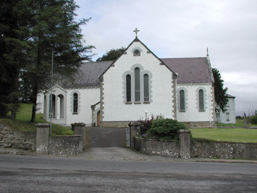 Catholic Church of Our Lady of the Rosarychurch/chapel · 2.2 mi
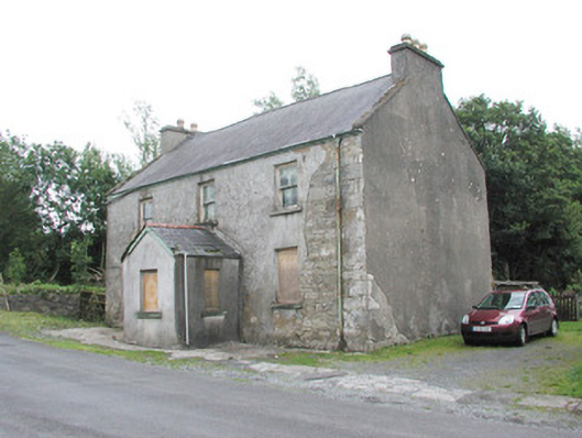 garda station/constabulary barracksgarda station/constabulary barracks · 2.2 mi
 Carrick WoodWood · 2.5 mi
 KnockasliggaunMountain / peak · 2.8 mi
 Castle (in Ruins)Castle, tower house · 2.9 mi
 Largan HillMountain / peak · 2.9 mi
 Mass RockNamed rock · 3.0 mi
 New WoodWood · 3.1 mi
Other information
Photo: Credit not shown in the picture search · Rights wording not checked; contact us if this picture should be removed