What is recorded here
From the National Monuments Service (Archaeological Survey of Ireland) record SL036-042
This remains an important historical record, but the official description says the monument is no longer visible or has been destroyed. The monument record does not grant public access. Check the route and ask the landowner before entering private land.
- What survives
- No visible remains or recorded as destroyed
Places near here
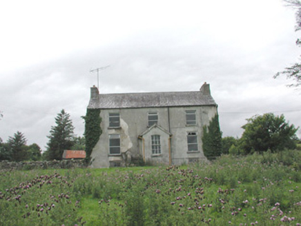 The GlebeRectory/glebe/vicarage/curate's house · 1062 yd
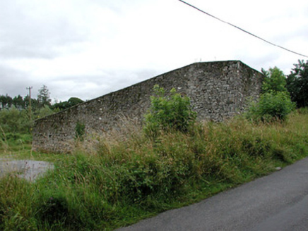 handball alley1205 ydKnockasliggaunMountain / peak · 3.8 mi
 Hawthorn4.0 mi
 Lough Talt TrailVisitor information · 4.3 miHawthorn4.4 mi
 Hennigan's Heritage CentreHeritage attraction · 4.5 mi
 Largan HillMountain / peak · 5.0 mi
 Mass RockNamed rock · 5.9 mi
 IndicatedWedge tomb · 6.0 mi
 Round Tower8.4 mi
 Lough CullinViewpoint · 9.8 mi
Pictures: National Inventory of Architectural Heritage; Didier Descouens, Wikimedia Commons · CC BY-SA 4.0; Richard Webb, Geograph · CC BY-SA 2.0; Pamela Norrington, Geograph · CC BY-SA 2.0; Alan Reid, Geograph · CC BY-SA 2.0; Gordon Hatton, Geograph · CC BY-SA 2.0; Newbert12, Wikimedia Commons · CC BY-SA 4.0; JohnArmagh, Wikimedia Commons · CC BY-SA 3.0; Kay Atherton, Geograph · CC BY-SA 2.0
More castles and forts in County Sligo · All of County Sligo
What do you know about this place?