
What is recorded here
From the National Monuments Service (Archaeological Survey of Ireland) record SL037-060
Places near here
Photo credits
- National Inventory of Architectural Heritage
- Maker not stated on source page, www.tripadvisor.in
- Maker not stated on source page, irisharchaeology.org
- Newbert12, Wikimedia Commons · CC BY-SA 4.0
- Maker not stated on source page, www.rte.ie
- Maker not stated on source page, www.dreamstime.com
- Richard Webb, Geograph · CC BY-SA 2.0
- Maker not stated on source page, www.thejournal.ie
- Alan Reid, Geograph · CC BY-SA 2.0
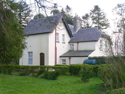 Shooting LodgeHunting/fishing lodge · 1241 yd
Explorer Tom The Shooting Lodge in Carns is trying to win a county fair for best verandah. It’s got sturdy farmyard walls and a…
 Church in KillureChurch · 1345 yd
Explorer Tom Church in Killure has a ghost who is too lazy to haunt it properly because he keeps falling asleep on the sod-covered…
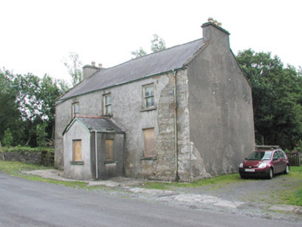 garda station/constabulary barracks1748 yd
Explorer Tom The old Garda station in Carns hears everything through its walls, including the neighbours arguing about whose turn it…
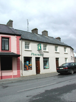 shop/retail outlet1.1 mi
Explorer Tom Shop or retail outlet in Lislea [Corran By.] in Lislea [Corran By.], County Sligo would survive a zombie attack by…
 Fairy fort / earthen ringfort in Carraun (leyny By., Banada Ed)Fairy fort / earthen ringfort · 1.1 mi
Explorer Tom Fairy fort / earthen ringfort in Carraun has a serious drama going on with the nearest tree over whose shadow is…
 bridge1.1 mi
Explorer Tom The Bridge in Carns has an opinion of the road leading to it, and that opinion is ‘you’re too bumpy for my delicate…
 Saint Attracta's Catholic ChurchChurch/chapel · 1.3 mi
Explorer Tom Saint Attracta's Catholic Church has a family tree that is mostly made up, but the stained glass and limestone bellcote…
 Tourlestrane GAAGAA ground · 1.6 mi
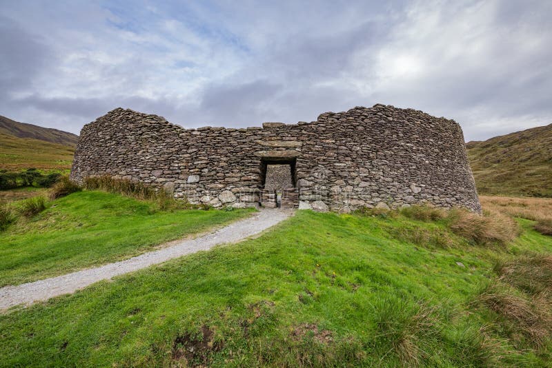 Fairy fort / stone ringfort in GlennawooFairy fort / stone ringfort · 2.2 mi
Explorer Tom Glennawoo’s stone ringfort complains that the wind picks on it because it terraced itself too sloppily into the…
 Lough Talt TrailVisitor information · 4.0 mi
Explorer Tom Lough Talt Trail has a shortcut that is technically longer if you count the time spent arguing about which way is down.…
 Curry GAAGAA ground · 4.3 mi
 Largan HillMountain / peak · 5.1 mi
Explorer Tom Largan Hill in County Sligo is strictly run by a terrier who barks at any cloud that passes overhead. The forest below…
More archaeology and monuments in County Sligo · All of County Sligo

What do you know about this place?Tap to add a comment or ask a question