What is recorded here
On Brick Island in estuary to N of Great Island, joined to mainland by narrow neck of land. Island used for mussel farming; midden in SW quadrant. Overgrown; concentration of oyster shells visible in parts along southern shoreline scarp. When surveyed by Power (1930, 124) midden measured 'five or six feet thick at the terrace edge' and 'extended along the foreshore for over one hundred and eighty yards and inland for seventy or eighty feet'; it contained 'nearly pure oyster-shells with occasional cockle, mussel, whelk and other marine shells'. 'Thin layers of charcoal were visible in many places' and 'stone pounders varying in size'. (Atkinson 1874, 258-259, no. 2)
The above description is derived from the published 'Archaeological Inventory of County Cork. Volume 2: East and South Cork' (Dublin: Stationery Office, 1994). In certain instances the entries have been revised and updated in the light of recent research.
Date of upload/revision: 14 January 2009
The monument record does not grant public access. Check the route and ask the landowner before entering private land.
- What survives
- Recorded monument
Places near here
 Midden in Ashgrove (barrymore By.),curraballyMidden · 796 yd
 Castle (in Ruins)Castle, tower house · 835 yd
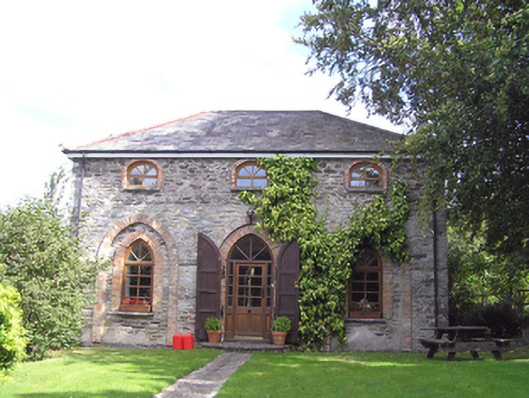 The Coach Houseoutbuilding · 836 yd
 Shell MoundMidden · 1082 yd
 gate lodgegate lodge · 1135 yd
 Rossmore BayBay · 1306 yd
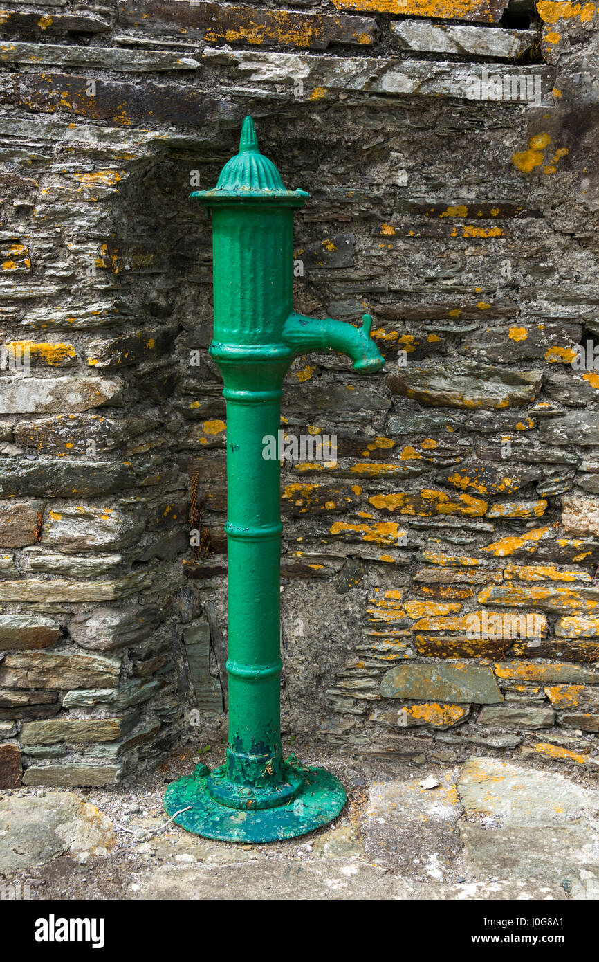 Water PumpHeritage attraction · 1.2 mi
 Site of old schoolHeritage attraction · 1.4 mi
 Ballyvodock Castle (in Ruins)Castle, tower house · 1.4 mi
 Great IslandIsland · 1.5 mi
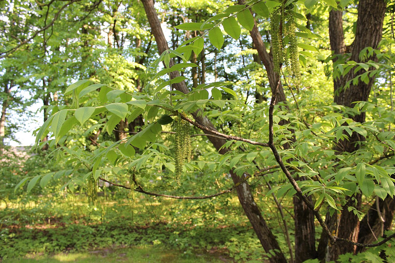 Japanese walnutJapanese walnut · 1.6 mi
 Tower WoodForest · 1.6 mi