
What is recorded here
Situated on a steep S-facing slope on the N side of the NE-SW upper Araglin valley. This settlement is not marked on a map of Lord Cremorne's estate (NLI: ms. 3201, 15) dated 1778-80, or on the 1840 ed. of the OS 6-inch map. An area of c. 2ha is occupied by at least nine rectangular, stone-walled houses of one to three rooms (ext. dims. 6m x 3m to 14.35m x 3.65m) and three pens probably for cattle or sheep. All the houses are aligned N-S across the contours of the slope. It is associated with the field system (WA014-041----).
The above description is derived from the published 'Archaeological Inventory of County Waterford' (Dublin: Stationery Office, 1999). In certain instances the entries have been revised and updated in the light of recent research.
Compiled by: Michael Moore
Date of Upload: 21 October 2011
The monument record does not grant public access. Check the route and ask the landowner before entering private land.
- What survives
- Recorded monument
Places near here
 Field system in Kilbryan UpperField system · 162 yd
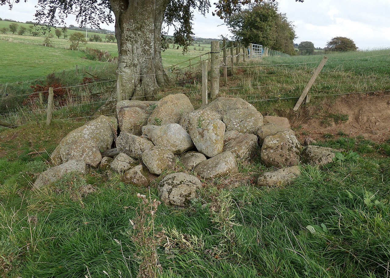 CairnCairn, clearance cairn · 242 yd
 Standing StoneMemorial · 822 yd
 KilnKiln, lime · 1296 yd
 Kilbrien National SchoolOfficially recorded historic building · 1.1 mi
 Coumaraglin MountainMountain / peak · 1.7 mi
 SeefinMountain / peak · 2.0 mi
 Mahon ValleyCliff · 3.3 mi
 Bawn in BarnankileBawn · 3.7 mi
 Magic Road (start)Heritage attraction · 4.5 mi
 Magic Road (finish)Heritage attraction · 4.5 mi
 Castle (in ruins)Castle, tower house · 4.6 mi
Other information
Photo: Credit not shown in the picture search · Rights wording not checked; contact us if this picture should be removed