
What is recorded here
In flat undulating lowland, in pasture. A row settlement identified by geophysics (Nicholls 2017 unpublished Geophysical report; Deery and Crowley 2017 unpublished EIS) carried out in advance of a proposed solar farm. Located c. 250m N of Barney church (KK009-013001-) and graveyard (KK009-013007-) and c. 800m WSW of…
Read the whole record
From the National Monuments Service (Archaeological Survey of Ireland) record KK004-046
Places near here
Photo credits
- A.-K. D., Wikimedia Commons · CC BY-SA 4.0
- Maker not stated on source page, www.alamy.com
- Maker not stated on source page, www.architecturaldigest.in
- National Inventory of Architectural Heritage
- Maker not stated on source page, commons.wikimedia.org
- Maker not stated on source page, en.wikipedia.org
- Maker not stated on source page, www.dreamstime.com
 Grave YardGraveyard · 324 yd
Explorer Tom Graveyard in Ballyconra would tell the car park that replaced it to shut up and stop charging. The earthworks around…
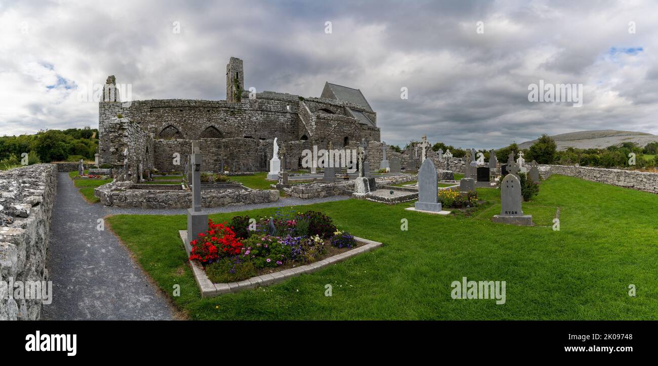 Ballyconra GraveyardCemetery · 332 yd
Explorer Tom Ballyconra Graveyard in County Kilkenny ended up in the wrong place because someone misread the map and thought 'grave'…
 Barney church (in ruins)Church · 346 yd
Explorer Tom Barney church in Ballyconra was nearly sold to buy a horse, but the farmer changed his mind. It sits on a ridge with…
 Holy well in BallyconraHoly well · 412 yd
Explorer Tom Holy well in Ballyconra is like that aunt at weddings who never shows up but sends cards. It vanished into the ground…
 CastleCastle, unclassified · 716 yd
Explorer Tom Castle in Ballyconra was 'in repair' back in 1658, which is what we all say when we're actually just napping. The ghost…
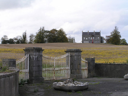 Ballyconra HouseGates/railings/walls · 902 yd
Explorer Tom Ballyconra House gates made a New Year’s resolution to stop rusting and have been keeping it with suspiciously intense…
 Fairy fort / earthen ringfort in ParksgroveFairy fort / earthen ringfort · 1333 yd
Explorer Tom Parksgrove’s first owner probably packed his bags and skipped town before the ditches were even dry. It’s got views in…
 Fairy fort / earthen ringfort in Seskin NorthFairy fort / earthen ringfort · 1357 yd
Explorer Tom Fairy fort / earthen ringfort in Seskin North would complain to the council about the damp and the lack of parking for…
 Graveyard in Seskin SouthGraveyard · 1536 yd
Explorer Tom Graveyard in Seskin South is haunted by a fiddler who played all night until he dropped his bow into the stream, where…
 Earthwork in Seskin NorthEarthwork · 1638 yd
Explorer Tom Earthwork in Seskin North is playing wind-chime with the valley. The castle it once hugged has vanished into thin air…
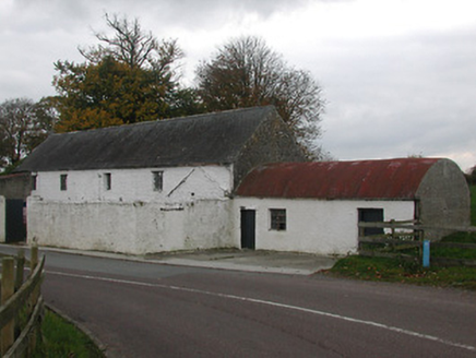 mill (water)1.0 mi
Explorer Tom Mill in Ballyragget is a modest corn mill that’s been supporting the local economy since the late 1800s, which is…
 St. Finnan's CemeteryCemetery · 1.0 mi
Explorer Tom St. Finnan's Cemetery thinks Dublin tourists are a bit loud, so it keeps its head down and pretends to be asleep. The…
More archaeology and monuments in County Kilkenny · All of County Kilkenny

What do you know about this place?Tap to add a comment or ask a question