What is recorded here
On land rising slightly to the E, on a low gravel ridge of a valley floor, in rolling grassland. There are good views in all directions. A roughly oval area (diam. 48m E-W, 39m N-S) enclosed by a low, wide bank (Wth 2m). From NW-N-NE there are slight traces of an internal bank (Wth 2m; int. H c. 1m; ext. H 1.4-2m) with intervening fosse (Wth 5m; D 1.8m). It is possible that the internal bank and intervening fosse have been levelled in the southern half of the monument, leaving only the outer bank as the visible enclosing element. Entrance (Wth 5-6m) at E, probably widened. The interior is level.
Compiled by: Jean Farrelly
Date of upload: 30 January 2018
The monument record does not grant public access. Check the route and ask the landowner before entering private land.
- What survives
- Recorded monument
Places near here
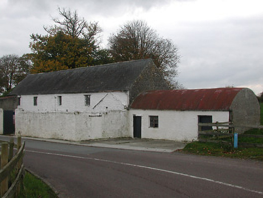 mill (water)mill (water) · 541 yd
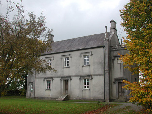 Ballyragget National Schoolschool · 567 yd
 Ballyragget Cas.Castle, tower house · 1026 yd
 Grave YardGraveyard · 1189 yd
 Holy well in BallyconraHoly well · 1190 yd
 Moat Castle (site of)Archaeological place · 1650 yd
 Donaghmore WellSpring · 1.5 mi
 Graveyard in SraleaghGraveyard · 1.5 mi
 Anker's IslandIsland · 1.6 mi
 Emma Jane Browne-ClaytonMemorial · 4.5 mi
 Red horse-chestnutRed horse-chestnut · 4.6 mi
 Freshford LoopWalking route · 5.1 mi