What is recorded here
Just below the crest of the gently sloping W side of the Nore river valley, amongst rolling and mostly reclaimed grassland. Earthworks identified on CUCAP AYP 10) taken in 1969. The earthworks are probably associated with an unclassified castle (KK004-019001-) which is not visible at ground level. The earthworks consist of a number of enclosures of varying sizes occupying the field to the N, S, E and W of the mound on which the castle is located.
Compiled by: Jean Farrelly
Date of upload: 10 February 2016
The monument record does not grant public access. Check the route and ask the landowner before entering private land.
- What survives
- Recorded monument
Places near here
 Mountgarret Castle (in ruins)Castle, unclassified · 56 yd
 IndicatedEnclosure · 338 yd
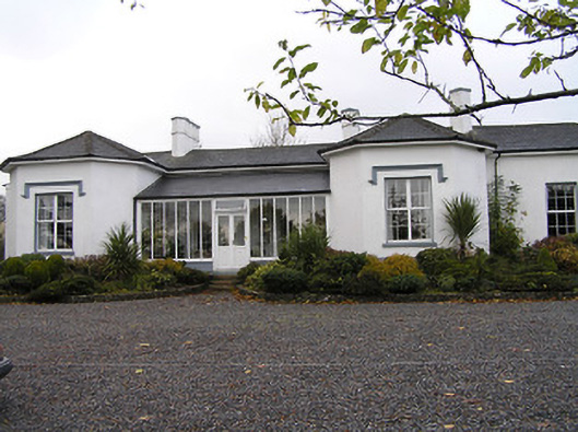 Seskin Househouse · 422 yd
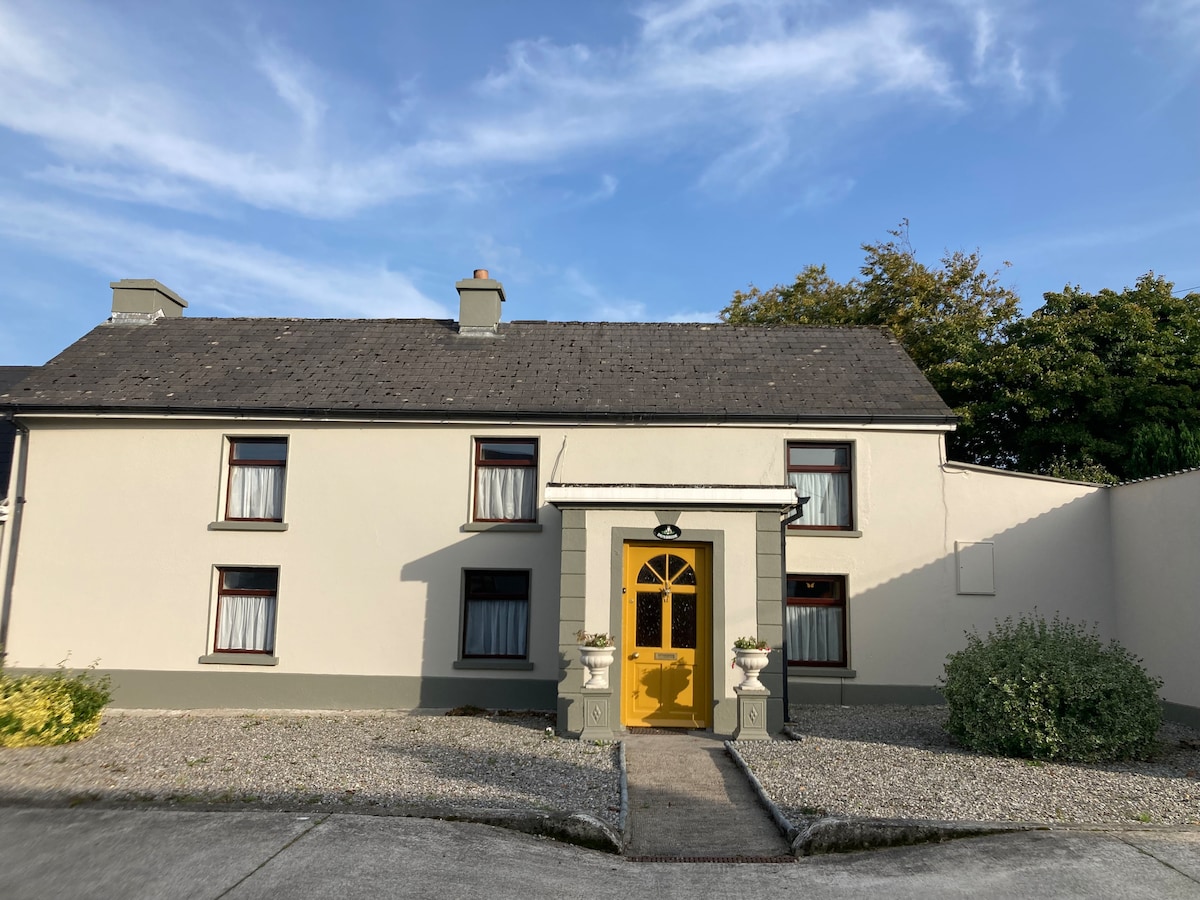 Not indciatedEnclosure · 831 yd
 CastleCastle, unclassified · 847 yd
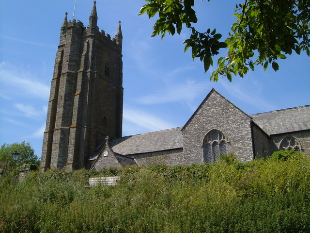 Church in Seskin SouthChurch · 1671 yd
 Anker's IslandIsland · 1.4 mi
 Emma Jane Browne-ClaytonMemorial · 4.8 mi
 Red horse-chestnutRed horse-chestnut · 4.8 mi
 Street fieldArchaeological place · 5.6 mi
 DelaneyMemorial · 8.0 mi
 St. Mogarra’s WellSpring · 13 mi