
What is recorded here
Mountgarret Castle belonged to the Butler Mountgarret family and once held the western crest above the Nore valley, but no stone remains visible today. The earth itself swallowed the building, leaving only a broad flat platform bounded by faint embankments and scattered trenches that local people still identify as the castle site. What looked like ordinary grassland may have concealed a defended residence where men watched the river, kept horses, argued over land or simply lived through seasons of rain and harvest. The castle disappeared not through destruction but through time, soil and forgetting, yet the shape of its platform still resists the claim that nothing happened there.
Just below the crest of the gently sloping W side of the Nore river valley, amongst rolling and mostly reclaimed grassland. There are good views to N and S along the valley, E across the valley and W into the neighbouring stream valley. The castle is indicated on the 1st (1839) ed. OS 6-inch map as a rectangular building (dims. c. 14m NE-SW; c. 7-8m NW-SE). The OS Letters (1839) state that the locals, 'show the site of a Castle in Seskin Mountgarret Townland encompassed by a half closed up trench; the people here call it Castle Mountgarret' (O'Flanagan 1930, vol. 1, 96). According to O'Kelly (1985, 54), the castle is associated with the Butler Mountgarret family. The castle is not visible at ground level. It may have occupied a regular platform (max. dims. 50m E-W, 42m N-S) with slight embankment at N and S sides. It has a steep embankment at W and terraced scarp at E. There are earthworks (KK004-019002-) within this field to the N, E, S and W which may be associated with the castle.
Compiled by: Jean Farrelly
Date of upload: 10 February 2016
Mountgarret Castle was built by the Purcell family in the late 15th or early 16th century; it is remembered for its strategic location overlooking the Nore river valley, which made it an important defensive position.
The monument record does not grant public access. Check the route and ask the landowner before entering private land.
- What survives
- Recorded monument
Places near here
 IndicatedEnclosure · 383 yd
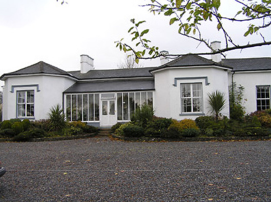 Seskin Househouse · 440 yd
 CastleCastle, unclassified · 791 yd
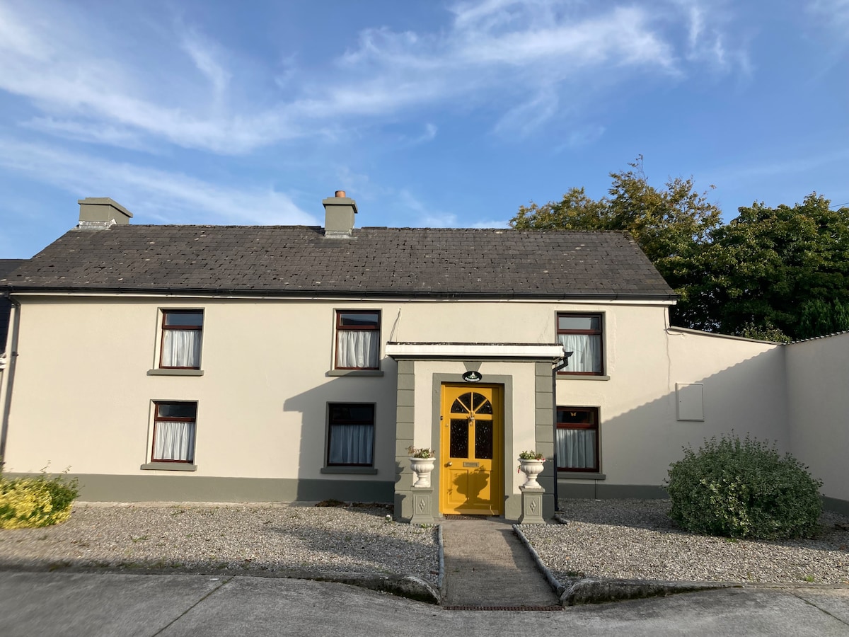 Not indciatedEnclosure · 791 yd
 Saint Brigid's Catholic Churchchurch/chapel · 1725 yd
 Anker's IslandIsland · 1.3 mi
 Moat Castle (site of)Archaeological place · 1.7 mi
 Emma Jane Browne-ClaytonMemorial · 4.8 mi
 Red horse-chestnutRed horse-chestnut · 4.9 mi
 Street fieldArchaeological place · 5.6 mi
 DelaneyMemorial · 8.0 mi
 St. Mogarra’s WellSpring · 13 mi
Other information
Photo: Credit not shown in the picture search · Rights wording not checked; contact us if this picture should be removed