
What is recorded here
On top of a flat N-S ridge between the Nore river valley and small stream valley, in rolling reclaimed grassland. Indicated on the 1st (1839) ed. OS 6-inch map as an arc of trees and on the revised 1899 ed. this arc is shown as a ditch with some trees. On an aerial photograph (CUCAP BDI 23) taken in 1970 this arc appears as the NW quadrant of a circular enclosure (diam. c. 45m). The remainder of the enclosure is defined by two concentric ditches, with a possible entrance in the SW quadrant. The enclosure is not visible at ground level.
Compiled by: Jean Farrelly
Date of upload: 10 February 2016
The monument record does not grant public access. Check the route and ask the landowner before entering private land.
- What survives
- Recorded monument
Places near here
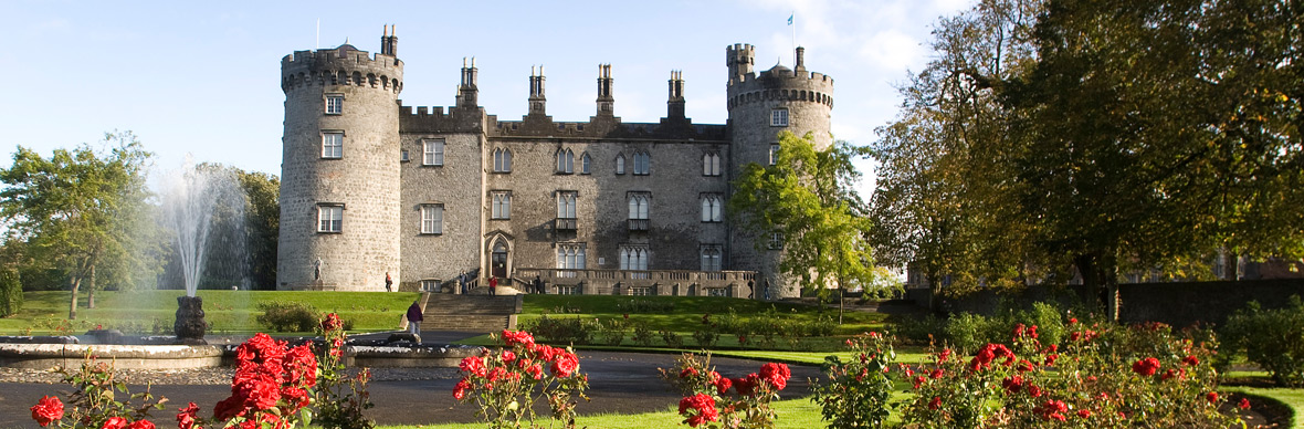 IndicatedFairy fort / earthen ringfort · 332 yd
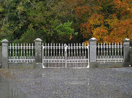 Seskin Housegates/railings/walls · 381 yd
 Mountgarret Castle (in ruins)Castle, unclassified · 383 yd
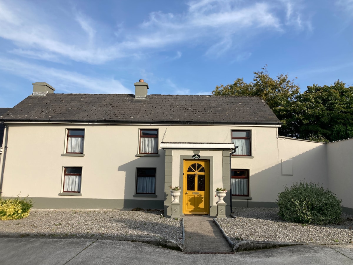 Not indciatedEnclosure · 942 yd
 CastleCastle, unclassified · 1260 yd
 Saint Brigid's Catholic Churchchurch/chapel · 1347 yd
 Anker's IslandIsland · 1.5 mi
 The PondsForest · 5.0 mi
 Freshford LoopWalking route · 5.1 mi
 Street fieldArchaeological place · 5.5 mi
 DelaneyMemorial · 7.8 mi
 Cnoc SeanrathaMemorial · 8.5 mi
Other information
Photo: Credit not shown in the picture search · Rights wording not checked; contact us if this picture should be removed