
What is recorded here
In a small E-W valley on the flat valley floor just above the flood plain and below the sloping valley sides. There are fair views to E-S-W. A castle with 'a stone house' adjoining is depicted on the Down Survey parish map (1655-6) and the accompanying terrier mentions, 'at Lisdowny a stone house in repaire and cabbins'. Carrigan (1905, vol. 2, 320-1) associated the house depicted on the Down Survey with Lisdowney House which belonged, 'to the Lords Mountgarret, and appears to have been occupied, for the most part, by the junior branches of the Mountgarret family'. Carrigan (ibid.) goes on to say that the last occupant, a Miss Cheevers, died c. 1809 and that the house was accidently destroyed by fire shortly after her death. The house is depicted on the 1st (1839) ed. OS 6-inch map but not on the subsequent 1900 revision. According to Carrigan (ibid.), 'The walls have been since taken down almost to the ground; the out-offices have been removed; the garden fences levelled; and but little now remains to indicate that a human habitation ever stood here. The existing foundations of the House show that it measures, internally, 51 ft. [c. 15.5m] by 21 ft. [6.4m], that the walls were 3 ft. [c. 0.9m] thick, and that they were built of stone and grouting of extreme hardness'. The foundations of this house (int. dims. 15m E-W;6m N-S; wall T 0.9m) were visible when inspected in 1987, as shown on the 1st ed. OS map in the SE corner a large sub-rectangular enclosure (max. dims 87m N-S; 72m E-W), bounded on the W side by a field bank and elsewhere by a stone wall. The foundations of a range (dims. 28m N-S; 8m E-W; wall T 0.9m) running N-S at right angles from near the SW angle house were also visible. Both the house and range pre-date the partially stone-walled enclosure. On Digitalglobe imagery (viewed 9 February 2018) the enclosing stone wall and any remains of buildings appear to have been levelled. There is no visible trace of a castle at ground level.
Compiled by: Jean Farrelly
Date of upload: 9 February 2018
Built in the 17th century, Castle Lisdowney is notable for its depiction alongside a stone house in the Down Survey of the 1650s, indicating its significance during the English Commonwealth period.
This remains an important historical record, but the official description says the monument is no longer visible or has been destroyed. The monument record does not grant public access. Check the route and ask the landowner before entering private land.
- What survives
- No visible remains or recorded as destroyed
Places near here
 Saint Brigid's Catholic Churchchurch/chapel · 361 yd
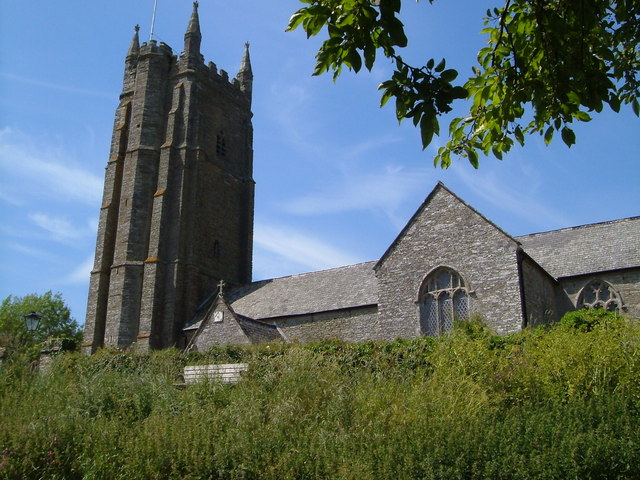 Church in Seskin SouthChurch · 912 yd
 Enclosure in LisdowneyEnclosure · 1004 yd
 IndicatedFairy fort / earthen ringfort · 1298 yd
 Mountgarret Castle (in ruins)Castle, unclassified · 1642 yd
 Bawn in BallykealyBawn · 2.0 mi
 Anker's IslandIsland · 2.2 mi
 The CopseWood · 5.0 mi
 Street fieldArchaeological place · 5.0 mi
 Clomantagh HillMountain / peak · 5.9 mi
 DelaneyMemorial · 7.3 mi
 Cnoc SeanrathaMemorial · 8.2 mi
Other information
Photo: Credit not shown in the picture search · Rights wording not checked; contact us if this picture should be removed