What is recorded here
Fairy fort, Seskin: a 28 m earthen ring on the hill crest, with a wide outside ditch and a gap cut through the north-east bank. It looks less like a forgotten ruin than a place still kept clear: a small arena on the edge of the Nore valley, where sight, weather and memory would have gathered. The fairies may have done no more than refuse to be measured.
In rolling grassland at crest of hills facing W side of Nore valley. There is a steep slope to the E down to the valley and a gentle and irregular rise to the W. Circular area (diam. 28m) enclosed by earthen bank (Wth c. 1m at crest; overall Wth c. 4m; int. H 0.4m; ext. H c. 1.2m) and external fosse (Wth c. 5m; D 1.2m). A gap has been cut through the bank in the NE quadrant. The interior is dished, sloping gradually 0.4m towards the centre.
Compiled by: Jean Farrelly
Date of upload: 9 February 2016
The monument record does not grant public access. Check the route and ask the landowner before entering private land.
- What survives
- Recorded monument
Places near here
 Seskin North RingfortArchaeological place · 4 yd
 IndicatedEnclosure · 609 yd
 CastleCastle, unclassified · 814 yd
 Mountgarret Castle (in ruins)Castle, unclassified · 982 yd
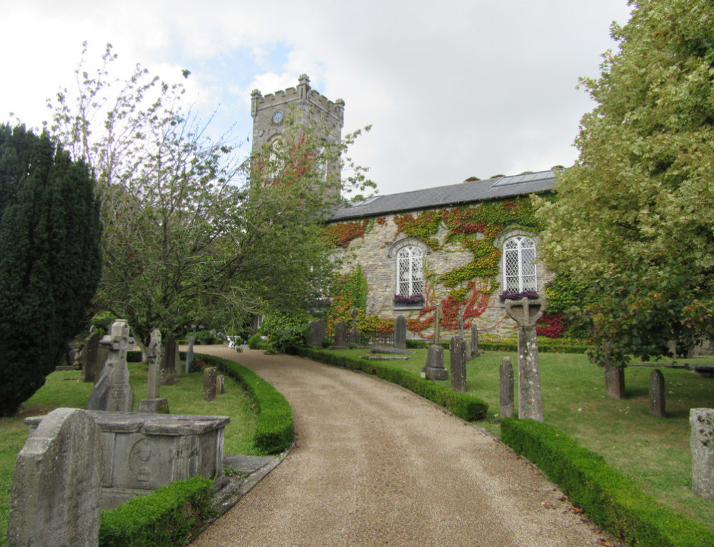 Church in BallyconraChurch · 1408 yd
 Anker's IslandIsland · 1417 yd
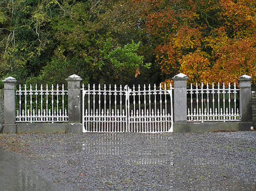 Seskin Housegates/railings/walls · 1620 yd
 1798 MonumentMemorial · 5.3 mi
 Common LimeCommon Lime · 5.6 mi
 Street fieldArchaeological place · 6.1 mi
 DelaneyMemorial · 8.6 mi
 St. Mogarra’s WellSpring · 13 mi