
What is recorded here
Just at crest of hills forming the W side of the Nore river valley, in grassland. Land to the W is flat before rising gently while land to the E slopes steeply down to the valley floor. Indicated as enclosure (diam. c. 30m) on the 1st (1839) edition OS 6-inch map where the monument is bisected by a townland boundary which runs N-S through the W quadrant. The W portion of the monument has been damaged by the townland boundary and a cattle track, and the enclosing element in this sector has been levelled. The E portion survives as an area (max. dims. 20m N-S; 18m E-W) enclosed by a bank (int. H 0.5-1m; ext. H 0.2-0.5m; Wth c. 1m). The interior forms a terrace cut into the natural hillside.
Compiled by: Jean Farrelly
Date of upload: 2 February 2016
The monument record does not grant public access. Check the route and ask the landowner before entering private land.
- What survives
- Recorded monument
Places near here
 Seskin North RingfortArchaeological place · 609 yd
 Ballynaslee RingfortArchaeological place · 746 yd
 CastleCastle, unclassified · 859 yd
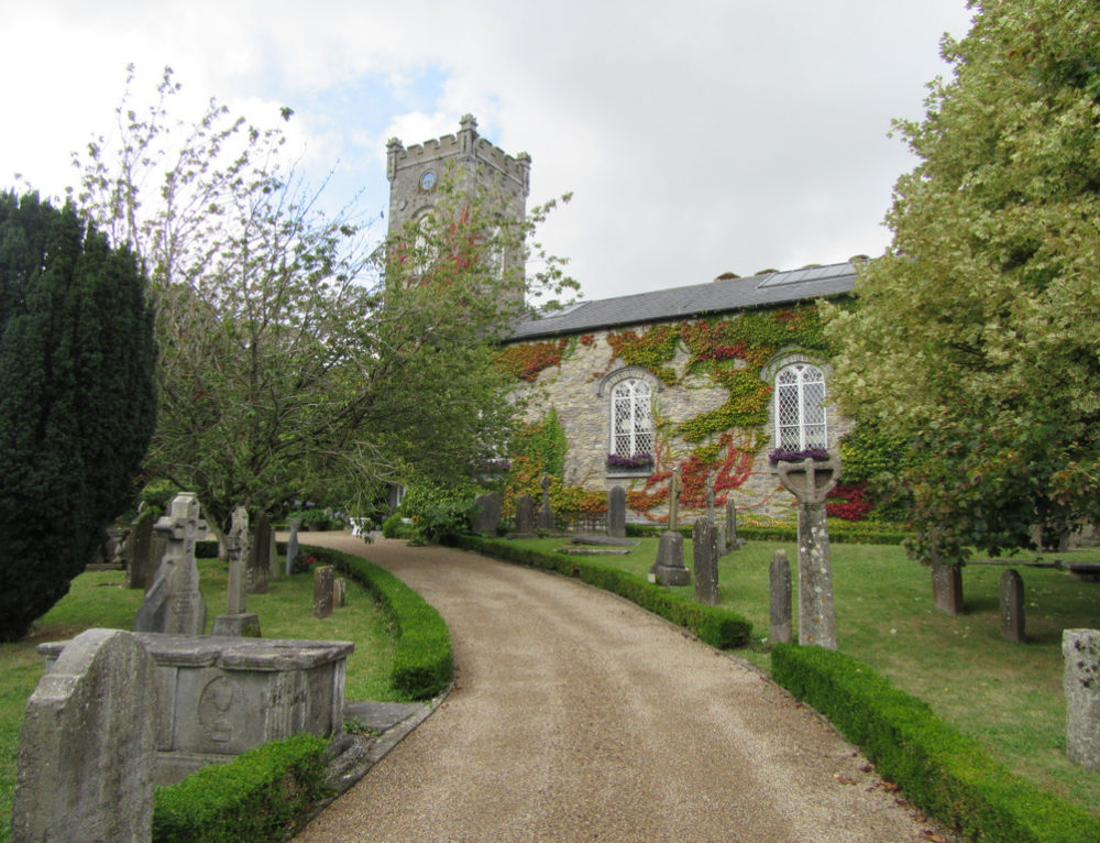 Church in BallyconraChurch · 1401 yd
 Anker's IslandIsland · 1411 yd
 Mountgarret Castle (in ruins)Castle, unclassified · 1415 yd
 Church (in ruins)Church · 1510 yd
 Donaghmore WellSpring · 3.3 mi
 1798 MonumentMemorial · 5.1 mi
 Common LimeCommon Lime · 5.3 mi
 Big WoodWood · 5.7 mi
 DelaneyMemorial · 8.7 mi
Other information
Photo: Credit not shown in the picture search · Rights wording not checked; contact us if this picture should be removed