What is recorded here
On an island (dims. c. 50m roughly N-S; c. 215m roughly E-W) in the River Nore. The land on either side of the river is wet and very low lying. On the OS ortho image it can been seen that the river channel on the S side has been filled in and incorporated into the reclaimed land to the S. According to Carrigan (1905, vol. 2, 315-17) there is a tradition of an anchorite's cell located on this natural island in the River Nore. Carrigan states that the OS incorrectly indicate the name as 'Archer's Island' when it is actually called 'Anker's Island' in reference to the anchorite who once lived there (ibid.). The upper part of the island is low and bog and the southern part is fertile and somewhat elevated, only becoming flooded when the flood waters are unusually high (ibid.). Carrigan mentions that there were the remains of a little church on the island and that, 'it stood east and west, its length being about 30 ft. [c. 9m] and the breadth 15 ft. [c. 4.5m]. The walls are only 2ft. [0.6m] thick and, at present, being 2 ft. 4 in. [c. 0.7m] high' (ibid. 315). He states that, 'A century ago [c. 1800], or a little more, a vandal, named Edward McCulloch, removed most of the north, south, and east walls, and all the west wall; and made use of the materials in the building of Ballyconra mill' (ibid.).
Compiled by: Jean Farrelly
Date of upload: 9 February 2016
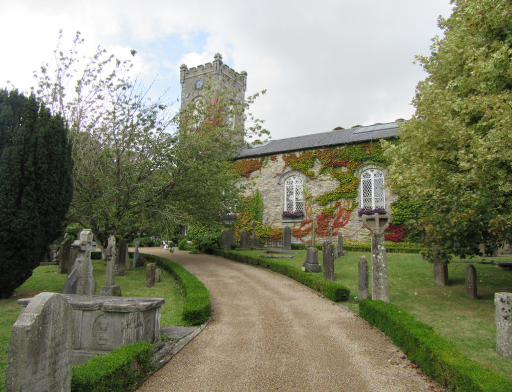
A local church or high cross; wider significance not recorded.
The monument record does not grant public access. Check the route and ask the landowner before entering private land.
- What survives
- Recorded monument
Places near here
 Anker's IslandIsland · 10 yd
 CastleCastle, motte · 598 yd
 Enclosure in GrenanEnclosure · 645 yd
 Ballynaslee RingfortArchaeological place · 711 yd
 Church (in ruins)Church · 1227 yd
 Moat Castle (site of)Archaeological place · 1542 yd
 Kilfinan Church (in ruins)Church · 1.0 mi
 Graveyard in SraleaghGraveyard · 1.7 mi
 Donaghmore WellSpring · 2.7 mi
 1798 MonumentMemorial · 4.7 mi
 Common LimeCommon Lime · 5.0 mi
 European PearEuropean Pear · 6.7 mi
Other information
Photo: Credit not shown in the picture search · Rights wording not checked; contact us if this picture should be removed