What is recorded here
The Killeen is a circular graveyard in County Kilkenny where adults were buried until 1770. An old ash tree still guards the forgotten church site, while cattle now graze above the dead. The valley stretches bright and empty in every direction, making the hidden graves feel both close and absent.
On a flat valley floor, in pasture, with a stream c. 40m to the W. There are good views across the valley in all directions. According to Carrigan (1905, vol. 2, 319) the enclosure (KK009-012003-) in this field is, 'called "the Killeen" (Cillín, i.e. the little church), which takes its name from a very ancient church that formerly stood there. The church-site is a small circular area, resembling a rath, 45 paces across and surrounded by a rampart about 2 ft. [0.6m] high all round. This enclosure, known as "churchyard," was used for the interment of adults till 1770 or thereabouts. At present there are no head-stones nor appearances of graves. The church, which stood within the enclosed area, to the south, has been destroyed, but some loose stones mark its site; it appears to have been a quadrangle, about 28 ft. [c. 8.5m] long, externally, and 19½ ft. [c. 6m] wide. An aged ash, 15 ft. [c. 4.5m] in circumference at the base, marks the position of the west gable, and keeps guard over this well-nigh forgotten city of the dead. The only tradition current about the Killeen is, that the church that stood here was parochial, and that it was given up many centuries ago, and a new church, then erected in Aharney, was made the parish church in its stead'. A tree-covered mound of stone rubble in the SW quadrant, probably augmented by field clearance, possibly marks the location of the church (KK009-012001-) within the enclosure. There is no visible evidence at ground level of the use of the enclosure as a graveyard (KK009-012002-).
Compiled by: Jean Farrelly
Date of upload: 29 January 2018
This remains an important historical record, but the official description says the monument is no longer visible or has been destroyed. The monument record does not grant public access. Check the route and ask the landowner before entering private land.
- What survives
- No visible remains or recorded as destroyed
Places near here
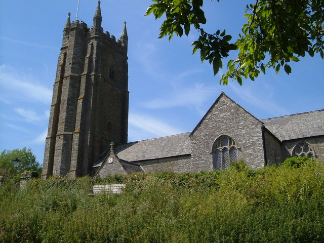 Church in Seskin SouthChurch · 10 yd
 Saint Brigid's Catholic Churchchurch/chapel · 584 yd
 CastleCastle, unclassified · 916 yd
 Enclosure in BallyconraEnclosure · 1353 yd
 Not inidcatedEnclosure · 1453 yd
 Mountgarret Castle (in ruins)Castle, unclassified · 1719 yd
 Anker's IslandIsland · 2.1 mi
 The CopseWood · 4.9 mi
 Street fieldArchaeological place · 5.5 mi
 DelaneyMemorial · 7.6 mi
 Cnoc SeanrathaMemorial · 8.7 mi
 St. Mogarra’s WellSpring · 13 mi