DDiscover AloneMapAbout

Ruins

Church

The monument record does not grant public access. Check the route and ask the landowner before entering private land.

What do you know about this place?Tap to add a comment or ask a question

What you write will be public.

What is recorded here

Moylagh church is situated on a small NNW SSE ridge c. 3km SW of the W end of the Loughcrew Hills. Moylagh parish is listed in the ecclesiastical taxation (1302-06) of Pope Nicholas IV (Cal. doc. Ire., 5, 259), and the church is listed by Dowdall in 1539 (O’Connell 1965, 173). Ussher (1622) describes the church and…

Read the whole record
Moylagh church is situated on a small NNW SSE ridge c. 3km SW of the W end of the Loughcrew Hills. Moylagh parish is listed in the ecclesiastical taxation (1302-06) of Pope Nicholas IV (Cal. doc. Ire., 5, 259), and the church is listed by Dowdall in 1539 (O’Connell 1965, 173). Ussher (1622) describes the church and chancel as reasonably well repaired (Erlington 1847-64, 1, cxvii). According to the Regal Visitation (1693) only the church walls were standing and 'it was not well fenced' (Ellington 1975, 9). The parish church of Moylagh is within a D-shaped or subrectangular graveyard (dims c. 50m NW-SE at SW to c. 70m NW-SE at NE; c. 35m NE-SW) defined by stone walls. Fragments of the S and W walls of a single cell structure (int. dims 14.1m E-W; 7.7m N-S) survive together with the grass-covered mound (Wth c. 4m; H 0.7m) of the N wall and the S end of the E wall (L 1.35m; H c. 3.5m) that has an aumbry. The tower (ext. dims 6.75m E-W; 6.05m N-S) of three storeys and attic stands at the W end of the S nave wall, and has rounded corners at SE and SW and a base-batter. Its ground floor is buried and inaccessible but there is a double-splay light in the S wall. There is a destroyed doorway from the nave to the first floor (int. dims 4.05m N-S; 3.75m E-W) of the tower over the vault, with a cupboard in the N wall and destroyed windows in flat-arched embrasures where they survive on the other walls. There is a garderobe with a damaged chute and a light at the NW angle of the tower. There is an alcove (Wth 1.6m; D 0.7m; H c. 1m) at the S end of the E wall and holes for corbels or joists in the N and S walls to support the ceiling. A newel stairs at the SW angle rises to the second floor that has a destroyed window on the E wall and the remains of a rectangular window with glazing bars in a flat-arched embrasure on the S walls. The stairs continue to an attic that has a destroyed window in the E wall, and the pitch of its roof can be seen in the stairs housing that rises to a wall-walk on the W wall. The head of a solid disc-headed cross (diam. c. 0.48m; T c. 0.1m) with a cross on one side and a sunken quatrefoil on the other, which was in the graveyard in 1969 (SMR file), is no longer present. Adams (1870-1) says that there is an underground chamber beneath the W end of the church, which is very unlikely and he may have intended the tower. He records the graveslab of Edmond Maolagh (1583) ’19 in. by 15 in. (c. 0.48m x c. 0.38m)’ that is no long present but which was also recorded by Du Noyer c. 1864 (1895). Adams also records the graveslab erected by Theobalt Cut and his wife Rose Moore (1637) that is now set up vertically (Wth 0.86m; visible H 1.35m; T 0.13-0.18m) in the church. It is in English and carved in gothic lettering in false relief. The rath (ME015-031----) is c. 55m to the NNW and the motte (ME015-033002-) and castle (ME015-032001-) are c. 85m to the SSE. The field system (ME015-034----) in Milltown townland, immediately E of the graveyard is probably associated with the castle. See the attached view of the tower from the SE (007) and the graveslab (019).

From the National Monuments Service (Archaeological Survey of Ireland) record ME015-032

Places near here

Photo credits
  • National Inventory of Architectural Heritage
  • Maker not stated on source page, uk.pinterest.com
  • Maker not stated on source page, www.dreamstime.com
  • Maker not stated on source page, commons.wikimedia.org
  • Maker not stated on source page, ru.pinterest.com
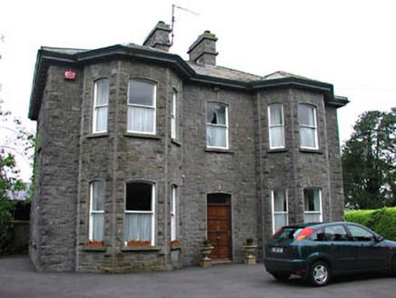
Saint Mary'sPresbytery/parochial/curate's house · 598 yd

Explorer Tom Saint Mary's in Garrynabolie is showing off its snecked stone like it’s wearing a suit to the pub. Someone once wrote a…
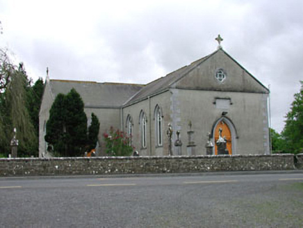
Saint Mary's Catholic ChurchChurch/chapel · 666 yd

Explorer Tom Saint Mary's Catholic Church in Garrynabolie is hiding some serious artistic talent behind its simple exterior. The…
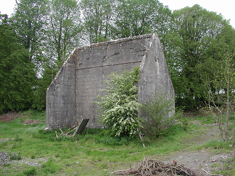
handball alley764 yd

Explorer Tom Handball alley in Garrynabolie ended up in the wrong place because nobody read the instructions. It used to be packed…
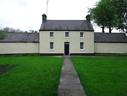
RockwoodFarm house · 1101 yd

Explorer Tom Rockwood in Garrynabolie is a farmhouse that looks like it was designed by someone who liked their buildings simple and…

Fairy fort / earthen ringfort in MoylaghFairy fort / earthen ringfort · 1141 yd

Explorer Tom The Vikings got completely lost looking for this Moylagh ring because there is no entrance. It sits on the edge of a…

Earthwork in Greenan (fore By.)Earthwork · 1332 yd

Explorer Tom Earthwork in Greenan thinks Dublin tourists are loud and smell of overpriced coffee. It sits at the bottom of a slope…

Holy Well (disused)Spring · 1348 yd

Explorer Tom Holy Well has a family tree so convoluted it makes a soap opera look like a simple math problem, mostly because half…

Fairy fort / earthen ringfort in Milltown (fore By.)Fairy fort / earthen ringfort · 1357 yd

Explorer Tom Fairy fort / earthen ringfort in Milltown would review you as 'adequate' if you dared peek over the bank. It was…

Loughcrew HouseGate lodge · 1728 yd

Explorer Tom Loughcrew House gate lodge is playing 'rustic' with its stone dressings and tile roof so well it’s almost annoying. It…
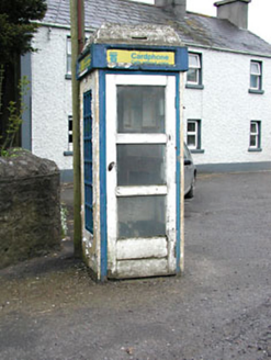
telephone box1.0 mi

Explorer Tom Telephone box in Drumone witnessed a love story that went wrong when the caller was actually a goat. It’s a…

Fairy fort / earthen ringfort in Greenan (fore By.)Fairy fort / earthen ringfort · 1.0 mi

Explorer Tom Fairy fort / earthen ringfort in Greenan’s dating profile says: 'Loves quiet slopes, hates being disturbed, has a…
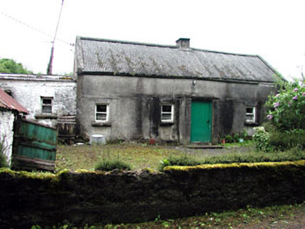
farm house1.0 mi

Explorer Tom Farm house in Garrynabolie thinks the rabbits are just jealous of its corrugated roof. It’s a classic vernacular…

More historic places in County Meath · All of County Meath

Add to this placeAdd a picture Add a detailed tip Add a story

Explore the map1,095,414 places to discover

Next place · or swipeSaint Mary's