What is recorded here
The medieval parish church of Moylagh (ME015-032----) is located on a N-S ridge within a D-shaped graveyard (dims c. 50m NW-SE at SW to c. 70m NW-SE at NE; c. 35m NE-SW) defined by drystone walls. The head of a disc-headed cross (ME015-032002-) that was within the graveyard (SMR file 1969) is missing. The graveslab of Edmond Maolagh (ME015-032003-) can no longer be identified, but that erected by Theobalt Cut and his wife Rose Moore (ME015-032004-) is within the church.
Compiled by: Michael Moore
Date of upload: 27 January, 2015
Medieval parish churchyard, 13th–16th century. The site is significant as a typical example of a medieval ecclesiastical enclosure in the Irish landscape, associated with the former church of Moylagh and reflecting the religious and community life of the period.
The monument record does not grant public access. Check the route and ask the landowner before entering private land.
- What survives
- Recorded monument
Places near here
 Cross in MoylaghCross · 1 yd
 Moylagh FortFairy fort / earthen ringfort · 85 yd
 Moat CastleCastle, unclassified · 105 yd
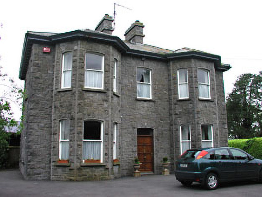 Saint Mary'spresbytery/parochial/curate's house · 584 yd
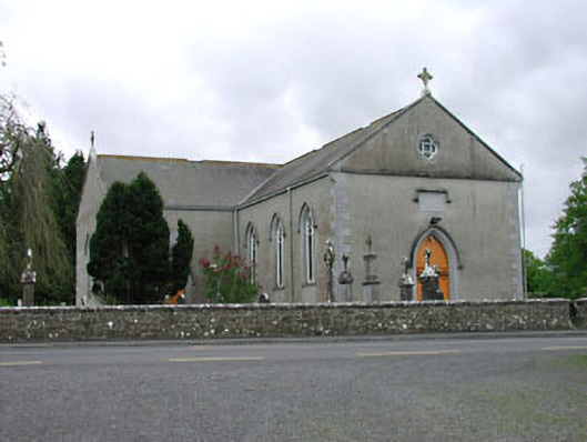 Saint Mary's Catholic Churchchurch/chapel · 652 yd
 European BeechEuropean Beech · 1.2 mi
 Green CastleCastle, unclassified · 1.3 mi
 Zip WireHeritage attraction · 1.4 mi
 European YewEuropean Yew · 1.5 mi
 Seafin HillMountain / peak · 1.7 mi
 C11Named rock · 2.2 mi
 Carnbane WestMountain / peak · 2.2 mi