What is recorded here
Situated on top of a slight ridge and just SE of rath (ME036-043001-). Evidence of a possible a double ring-ditch was recovered in test excavation (04E0987) in the form of two arcs of fosses, the inner curved fosse (L 6m; Wth 1.75m; D 0.3m) separated by c. 3-4m from an outer curved fosse (L 7m; Wth 1m; D 0.2m) that had two inhumations on its line that were oriented N-S. (Breen 2007, 2010, 14-16, 44)
Compiled by: Michael Moore
Date of upload: 9 November, 2017
The monument record does not grant public access. Check the route and ask the landowner before entering private land.
- What survives
- Recorded monument
Places near here
 Font in LaracorFont · 82 yd
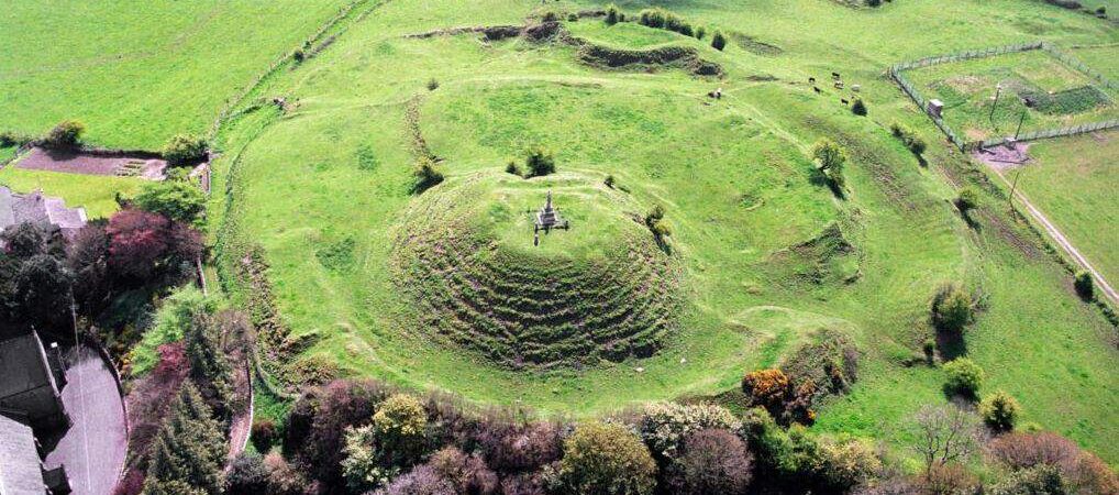 CastleCastle, motte · 88 yd
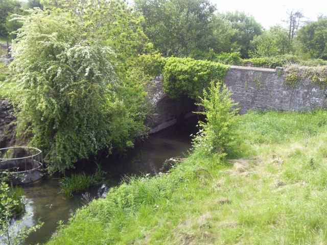 IndicatedBridge · 250 yd
 Enclosure in Stokestown (moyfenrath Lwr By)Enclosure · 1315 yd
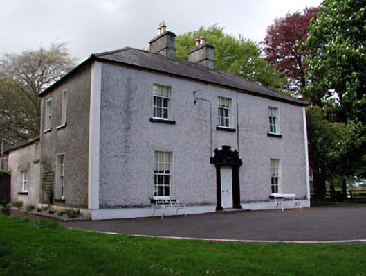 Fosterstown Housecountry house · 1.2 mi
 Trim CastleCastle, Anglo-Norman masonry castle · 1.9 mi
 Saints IslandForest · 1.9 mi
 European ashEuropean ash · 3.4 mi
 Kilgar GardensHeritage attraction · 7.3 mi
 Old Bog Road made famous by Teresa Bryton 1868-1943Memorial · 7.3 mi
 Cloncurry GraveyardHeritage attraction · 7.7 mi
 Candle HillMountain / peak · 11 mi