
What is recorded here
In tillage field. Circular-shaped area defined by the faint cropmark of a ditch visible on Digital Globe orthoimage taken between 2011-13.
Compiled by: Caimin O'Brien based on details provided by Jean-Charles Caillère
Date of upload: 29 May 2023
The monument record does not grant public access. Check the route and ask the landowner before entering private land.
- What survives
- Recorded monument
Places near here
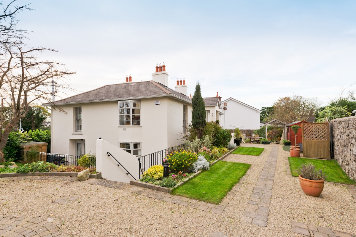 Kilresk House (in ruins)House, 16th/17th century · 590 yd
 bridgebridge · 678 yd
 St. Margarets WellHoly well · 752 yd
 Enclosure in BroghanEnclosure · 794 yd
 CastleCastle, tower house · 1127 yd
 Connaberry MoatCastle, motte and bailey · 1311 yd
 Horizon Logistics ParkVisitor information · 1.3 mi
 The MoundViewpoint · 2.6 mi
 Liam Ó MaoilíosaMemorial · 2.7 mi
 Richard McKeeMemorial · 3.2 mi
 The JackoWood · 3.3 mi
 St Cronans WellSpring · 3.4 mi
Other information
Photo: Credit not shown in the picture search · Rights wording not checked; contact us if this picture should be removed