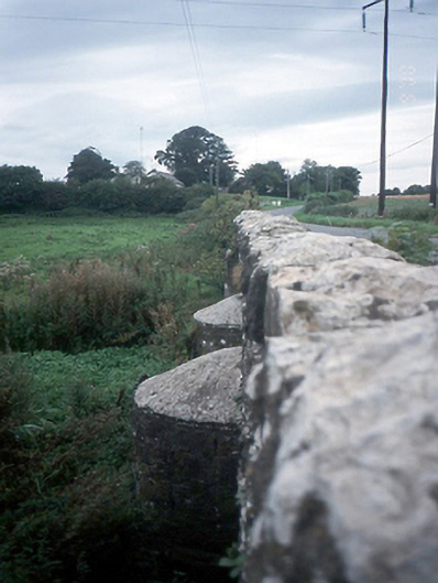
What is recorded here
Triple-arch rubble stone road bridge over river, c.1820, with curved cut waters.
From the Buildings of Ireland (National Inventory of Architectural Heritage) record 11342007
This does not grant access. Most recorded buildings are privately owned; view them only from public ground unless the owner allows entry.
Places near here
Photo credits
- Cg.wiki, Wikimedia Commons · CC BY-SA 4.0
- National Inventory of Architectural Heritage
- Mike Searle, Wikimedia Commons · CC BY-SA 2.0
- Peter Gerken, Geograph · CC BY-SA 2.0
- JP, Wikimedia Commons · CC BY-SA 2.0
 Church (in ruins)Church · 195 ydFreedagh MoatCastle, motte · 1068 yd
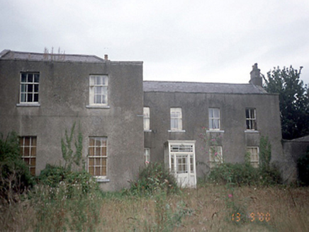 Corrstown HouseCountry house · 1101 yd
.jpg/250px-Castles_of_Leinster-_Dunsoghly,_Co._Dublin_(geograph_2496350).jpg "Photo: Mike Searle, Wikimedia Commons · CC BY-SA 2.0") CastleCastle, tower house · 1.9 miGraveyard in KillosseryGraveyard · 2.4 mi
CastleCastle, tower house · 1.9 miGraveyard in KillosseryGraveyard · 2.4 mi IndicatedFish-pond · 2.5 miSt Cronans WellSpring · 2.8 mi
 Glasmore Abbey (in ruins)Structure · 2.8 miThe JackoWood · 2.9 miKim Archibold MemorialMemorial · 2.9 mi
 BallymunVisitor information · 4.1 mi
 Dunsink ObservatoryHeritage attraction · 4.8 mi
More historic places in County Dublin · All of County Dublin
What do you know about this place?