What is recorded here
Part of this earthwork has been incorporated into a field boundary extending NW-SE (dims. 10.8m E-W; 4m N-S; H 0.2m). Located on steep east-facing ground at the highest point of a ridge (Healy 1975, 23). North of field boundary is a slight curve at high point. No sign of a ditch or bailey. Well established tree line.
From the National Monuments Service (Archaeological Survey of Ireland) record DU011-020
The monument record does not grant public access. Check the route and ask the landowner before entering private land.
- What survives
- Recorded monument
Places near here
Photo credits
- National Inventory of Architectural Heritage
- Cg.wiki, Wikimedia Commons · CC BY-SA 4.0
- Mike Searle, Wikimedia Commons · CC BY-SA 2.0
- Harold Strong, Geograph · CC BY-SA 2.0
- Peter Gerken, Geograph · CC BY-SA 2.0
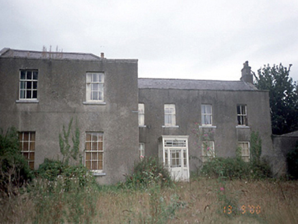 Corrstown HouseCountry house · 534 yd
 Church (in ruins)Church · 875 ydCastleCastle, tower house · 1686 ydGraveyard in KillosseryGraveyard · 1.9 mi
.jpg/250px-Castles_of_Leinster-_Dunsoghly,_Co._Dublin_(geograph_2496350).jpg "Photo: Mike Searle, Wikimedia Commons · CC BY-SA 2.0") CastleCastle, tower house · 2.4 mi
CastleCastle, tower house · 2.4 mi IndicatedFish-pond · 2.8 miSt Cronans WellSpring · 2.9 mi
 Glasmore Abbey (in ruins)Structure · 3.0 miHorizon Logistics ParkVisitor information · 3.1 miThe JackoWood · 3.1 mi
 TyrrelstownWood · 4.5 mi
 BallymunVisitor information · 4.7 mi
More castles and forts in County Dublin · All of County Dublin
What do you know about this place?