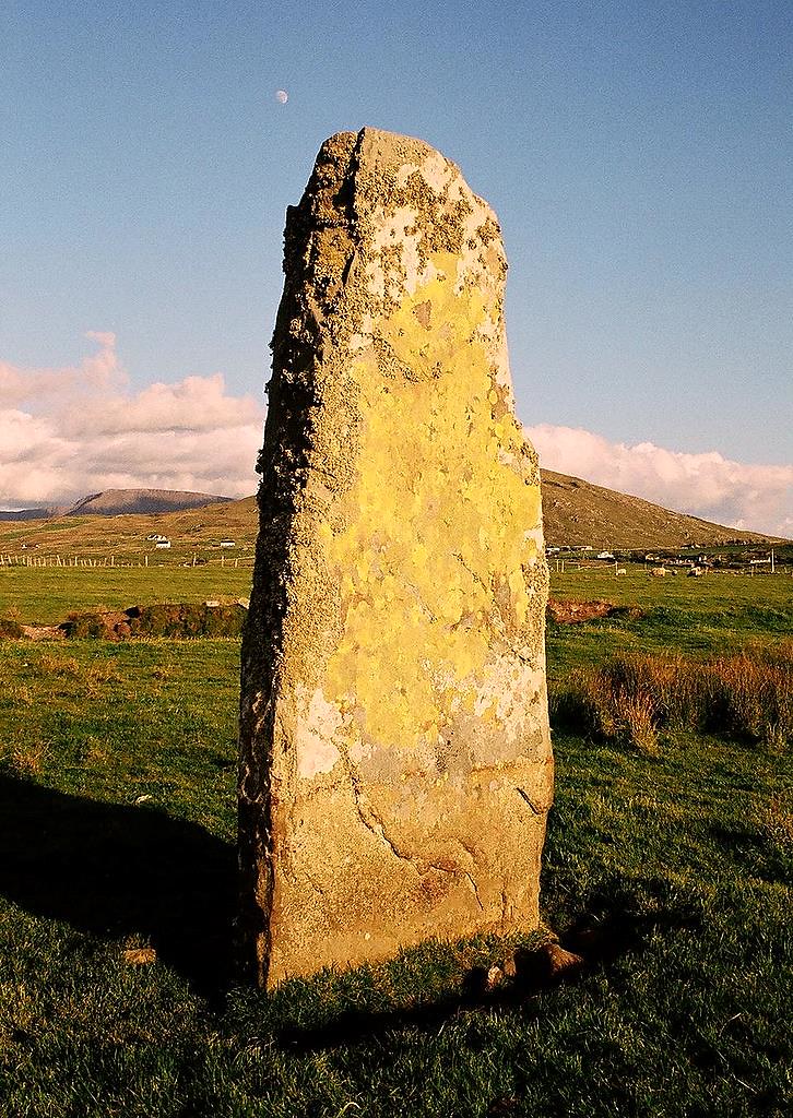
What is recorded here
From the National Monuments Service (Archaeological Survey of Ireland) record DU014-096
Places near here
Photo credits
- Mike Searle, Wikimedia Commons · CC BY-SA 2.0
- Maker not stated on source page, www.agriland.ie
- Maker not stated on source page, readymap.irish
- National Inventory of Architectural Heritage
- Cg.wiki, Wikimedia Commons · CC BY-SA 4.0
- Jonjobaker, Wikimedia Commons · CC BY-SA 4.0
- Maker not stated on source page, www.istockphoto.com
- PST Sport project photograph; individual photographer not stated, pstsport.com
- Mike Murphy ( talk · contribs ), Wikimedia Commons · CC BY-SA 3.0
- The British Library, Wikimedia Commons · No restrictions
- EecherplazGinkgo06.jpg : Cayambe derivative work: Ginkgotree ( talk ), Wikimedia Commons · CC BY-SA 3.0
 CastleCastle, tower house · 408 yd
Explorer Tom Dunsoghly Castle once had a massive feud with the next village over whose potatoes were tastier, and honestly, we never…
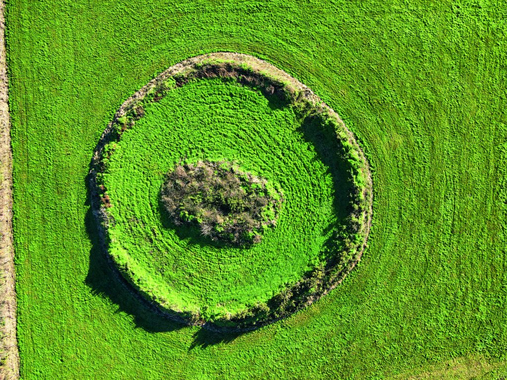 Fairy fort / ringfort in ShanganhillFairy fort / ringfort · 801 yd
Explorer Tom Fairy fort / ringfort in Shanganhill. A ploughed-out ringfort visible only as a cropmark in rough pasture. It’s like…
 St. Margaret's GraveyardGraveyard · 1110 yd
Explorer Tom St. Margaret's Graveyard in County Dublin used to be run by a matchmaker who paired off couples based on how well they…
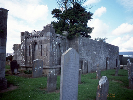 graveyard/cemetery1113 yd
Explorer Tom Graveyard in St. Margaret’s has a mausoleum with a fancy Latin inscription that probably means 'keep off the grass' but…
 St. Margarets Church (in ruins)Church · 1116 yd
Explorer Tom St. Margarets Church is the western portion of what used to be Donaghmore, ruined between 1630 and 1650. It’s basically…
 Graveyard in St. Margaret'sGraveyard · 1123 yd
Explorer Tom Graveyard in St. Margaret's is sub-rectangular with a steep slope from south to north. There’s an 18th-century…
 bridge1217 yd
Explorer Tom Bridge in Kilreesk is a single-arch bridge from around 1800 that looks like it’s been left out in the rain so long it’s…
 Fairy fort / ringfort in KilreeskFairy fort / ringfort · 1280 yd
Explorer Tom Fairy fort / ringfort in Kilreesk has a curving bank that might be part of a ringfort. Marcus Nolan saw it in 1989, so…
 Kilreesk, St. Margarets GAAGAA ground · 1.0 mi
 Giant Sequoia6.0 mi
Explorer Tom Giant Sequoia in County Dublin would win any county fair easily just by standing there and looking like it ate an…
 Luttrellstown CastleCastle · 6.2 mi
Explorer Tom Luttrellstown Castle in County Dublin has been featured in an 1898 book about picturesque Dublin, which makes it sound…
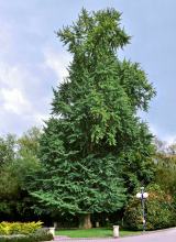 Ginkgo6.5 mi
Explorer Tom Ginkgo in County Dublin is an absolute fossil, older than your grandma’s dentures and twice as opinionated. It claims…
More archaeology and monuments in County Dublin · All of County Dublin

What do you know about this place?Tap to add a comment or ask a question