
What is recorded here
Situated on a rise in a fairly level landscape. A penannular ring-ditch with pits to the W and E was identified at the W edge of the route of the M3 motorway in a gradiometer survey (00R0064) by GBS Prospection (2001, 9). This was confirmed in archaeological testing (04E0417) by J. Dempsey of Testing Area 3, Contract…
Read the whole record
From the National Monuments Service (Archaeological Survey of Ireland) record ME038-068
Places near here
Photo credits
- Maker not stated on source page, veri-art.net
- Maker not stated on source page, www.youtube.com
- Maker not stated on source page, commons.wikimedia.org
- Maker not stated on source page, ru.pinterest.com
- Maker not stated on source page, www.knowth.com
- National Inventory of Architectural Heritage
- Garry Dickinson, Geograph · CC BY-SA 2.0
- Kieran Campbell, Geograph · CC BY-SA 2.0
- Willow, Wikimedia Commons · CC BY 2.5
- Maker not stated on source page, www.pinterest.ru
 Church (in Ruins)Church · 1401 yd
Explorer Tom Church in Trevet claims it’s older than your great-grandfather's bad haircuts, which is bold for a place with no walls…
 TombTomb, chest tomb · 1408 yd
Explorer Tom Tomb in Trevet looks like it would wear a tuxedo and drink too much champagne at a wedding. Sir Thomas Cusack is buried…
 Earthwork in Trevet GrangeEarthwork · 1.4 mi
Explorer Tom Earthwork in Trevet Grange is a small mound that thinks it’s a moat because an old map said so back in 1836. There was…
 Fairy fort / earthen ringfort in Collierstown (skreen By.)Fairy fort / earthen ringfort · 1.5 mi
Explorer Tom This Collierstown ringfort really hates when visitors trip over its own banks, which are surprisingly soft for being…
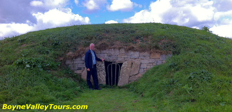 Enclosure in Roestown (ratoath By.)Enclosure · 1.5 mi
Explorer Tom This spot in Roestown has a secret talent for turning limestone gaming boards into legendary artifacts that people…
 Earthwork in ColvinstownEarthwork · 1.5 mi
Explorer Tom Earthwork in Colvinstown has the weather's long grudge against it, as it vanished after appearing on an 1826 map. It’s…
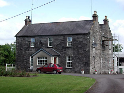 Oberstown HouseFarm house · 2.3 mi
Explorer Tom Oberstown House in County Meath mixes limestone and brick like it’s showing off. Its first owner planned to escape by…
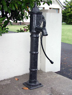 water pump2.3 mi
Explorer Tom Water pump in Skreen is just standing there looking decorative while doing absolutely no work today. I swear the stones…
 Skreen CastleCastle, tower house · 2.4 mi
Explorer Tom Skreen Castle is overhearing every secret the walls have swallowed over the centuries and judging your life choices…
 CastleCastle, tower house · 4.6 mi
Explorer Tom Castle in Monktown is locked in an eternal feud with the rain, and honestly, it’s losing badly. You’ve got a Cistercian…
 European ash5.0 mi
Explorer Tom European ash in County Meath makes map makers look like amateurs because nobody can seem to find the right path to it.…
 Balrath WoodForest · 5.2 mi
Explorer Tom Balrath Wood is convinced a king visited last Tuesday just to check its leaf count, and it hasn't let anyone disprove…
More archaeology and monuments in County Meath · All of County Meath

What do you know about this place?Tap to add a comment or ask a question