What is recorded here
In tillage. A small circular enclosure (diam. c. 8m), defined by a fosse, identified as a cropmark on Apple Maps satellite imagery (no date) by Jean-Charles Caillère. There appears to be an entrance in the SE quadrant.
See attached photograph:
TN004-047----_01 Image © Apple Maps satellite imagery (no date)
Compiled by: Jean Farrelly
Date of upload: 8 January 2020
The monument record does not grant public access. Check the route and ask the landowner before entering private land.
- What survives
- Recorded monument
Places near here
 Ballyquirk CastleCastle · 917 yd
 Enclosure in LorrhaEnclosure · 1212 yd
 Enclosure in Annagh (lorrha Par.)Enclosure · 1270 yd
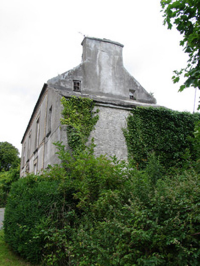 miller's housemiller's house · 1592 yd
 Franciscan Abbey (in ruins)Religious house, Dominican friars · 1.1 mi
 The MoatCastle, motte and bailey · 1.2 mi
 Slevoir BayBay · 1.8 mi
 Hayes IslandIsland · 2.5 mi
 Sallow IslandIsland · 2.8 mi
 European ashEuropean ash · 3.1 mi
 Black mulberryBlack mulberry · 3.4 mi
 Portumna Castlegate lodge · 3.6 mi