
What is recorded here
National Monument No. 357. A house of Augustinian canons founded in Lorrha sometime during the twelfth century (Gwynn and Hadcock 1970, 155). In 1401 the Calendar of Papal Letters records the 'giving of alms for the repair and building of the friars preachers church of Lorrha' (Cal. papal letters, 347). Despite the dissolution, a prior of Lorrha was referred to in 1599 (Gwynn and Hadcock 1970, 185) and it seems that the Augustinian friars took over from the canons in 1643 (ibid., 185). In the year 1552 in the fiants of Edward VI there is a lease to John Hogan, clerk late prior of Lorrowe in Lower Ormond, of the site of the priory of canons Regular of St Augustine and the site of the monastery of friars of St Dominick's order in Lorowe and land called Friars Rath with its tithes in the said town (Gleeson 1915, vol. 1, 252). The poorly preserved remains of a fifteenth-century priory (ext. dims. 32m E-W; 8.8m N-S) with conventual buildings attached to the S. The walls were constructed with roughly coursed limestone rubble with prominent base-batter visible. The surviving quoins are well-cut, dressed limestone blocks. The main doorway located in the W gable consists of a pointed arch with ogee-headed hood-moulding surmounted with crocket finials. The doorway has two moulded orders the apex of which is decorated with a woman's head wearing a horned headdress and collared robe all of which appears to have been painted in blue and gold, traces of which still survive. Directly over this doorway there is a twin-light trefoil-headed window with quatrefoil over and hood-moulding with plain label stop. The windows consist of twin and single ogee-headed lights. There is a twin-light window in the E gable. Most of the S wall is destroyed and forms part of a modern ball alley. Three medieval limestone graveslabs lie within the church interior at the E end. The possible remains of a two-storey sacristy with barrel-vaulted ground floor protrude from the NE angle of the priory. This building is surmounted by a substantial stone chimney stack protruding from the S wall. A piscina with credence was removed from the church in the 1880s and brought to the Church of the Immaculate Conception, Minneapolis USA (Gleeson 1915, vol. 1, 253). Possible conventual building adjoining the S of the church and the W wall of the sacristy. The W wall is gone, though foundations are visible at the SW angle. The S and E walls have been rendered to provide a concrete surface for the hand-ball alley. The S and E walls of this building have been rendered to provide a concrete surface for the hand-ball alley. The upper part of a doorway is clearly visible where the render is peeling off in the S wall. It has been largely blocked up with stones but the E jamb with cut limestone blocks is evident. It is a round-headed doorway with chamfered jambs. Internally there is a drawbar-hole on the E side. There is a receiver on the W side, which is partly cut into the rebate and is also formed by a splay. There is a wide internal splay with dressed limestone blocks. The bottom of the doorway does not survive. Four corbels project out from the S face, c. 2m above present ground level. There is a row of putlogs c. 1m above the corbels and another row c. 0.4m below. Three medieval recumbent graveslabs (TN004-010023-/024-/025-) at E end of priory. Vol. 1 - North Tipperary' compiled by Jean Farrelly and Caimin O'Brien (Dublin: Stationery Office, 2002). 51/1937).
National Monument No. 357. A house of Augustinian canons founded in Lorrha sometime during the twelfth century (Gwynn and Hadcock 1970, 155). In 1401 the Calendar of Papal Letters records the 'giving of alms for the repair and building of the friars preachers church of Lorrha' (Cal. papal letters, 347). Despite the dissolution, a prior of Lorrha was referred to in 1599 (Gwynn and Hadcock 1970, 185) and it seems…
From the National Monuments Service (Archaeological Survey of Ireland) record TN004-010006
The monument record does not grant public access. Check the route and ask the landowner before entering private land.
- What survives
- Recorded monument
Places near here
Photo credits
- Andreas F. Borchert, Wikimedia Commons · CC BY-SA 4.0
- Jonathan Thacker, Geograph · Creative Commons Attribution-ShareAlike 2.0
- dougf, Geograph · CC BY-SA 2.0
- Jonathan Thacker, Geograph · CC BY-SA 2.0
- Willow, Wikimedia Commons · CC BY 2.5
- National Inventory of Architectural Heritage
- Maker named on the Wikimedia Commons picture page · Public domain
- Derek Ryan Bawn, Wikimedia Commons · CC BY-SA 4.0
Rodans wellHoly well · 48 yd Church (in Ruins), GraveyardChurch · 97 ydSaint Ruadhan's Church (Lorrha)Church/chapel · 112 ydBallyquirk CastleCastle · 1.5 miLackeen Castle (in Ruins)Bawn · 2.0 miSallow IslandIsland · 2.5 miPortland IslandIsland · 2.6 miEuropean ash3.5 miPortumna CastleWalled garden · 3.9 miPortumna CastleStables · 4.0 miBlack mulberry4.1 miBarrowBarrow, mound barrow · 5.4 mi
 Church (in Ruins), GraveyardChurch · 97 yd
 Saint Ruadhan's Church (Lorrha)Church/chapel · 112 yd
 Ballyquirk CastleCastle · 1.5 mi
 Lackeen Castle (in Ruins)Bawn · 2.0 miSallow IslandIsland · 2.5 miPortland IslandIsland · 2.6 mi
 European ash3.5 mi
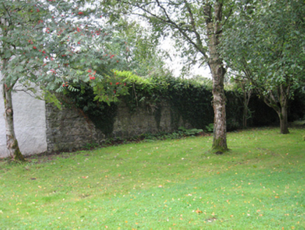 Portumna CastleWalled garden · 3.9 mi
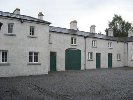 Portumna CastleStables · 4.0 mi
 Black mulberry4.1 mi
 BarrowBarrow, mound barrow · 5.4 mi
More historic places in County Tipperary · All of County Tipperary
What do you know about this place?