What is recorded here
Situated on the E side of Lorrha village with the nearby Augustinian priory (TN004-010006) to the N. A rough rectangular well (dims. 0.9m x 0.8m) enclosed by a D-shaped stone wall with cobblestone paving. The top of the well is covered by an iron grille which gives access to seven steps leading down to the water of the well. Vol. 1 - North Tipperary' compiled by Jean Farrelly and Caimin O'Brien (Dublin: Stationery Office, 2002).
From the National Monuments Service (Archaeological Survey of Ireland) record TN004-010007
The monument record does not grant public access. Check the route and ask the landowner before entering private land.
- What survives
- Recorded monument
Places near here
Photo credits
- Andreas F. Borchert, Wikimedia Commons · CC BY-SA 4.0
- dougf, Geograph · CC BY-SA 2.0
- Jonathan Thacker, Geograph · CC BY-SA 2.0
- Willow, Wikimedia Commons · CC BY 2.5
- National Inventory of Architectural Heritage
- Maker named on the Wikimedia Commons picture page · Public domain
- Derek Ryan Bawn, Wikimedia Commons · CC BY-SA 4.0
 St. Rodans AbbeyReligious house, Augustinian canons · 48 ydCrossCross, High cross · 90 yd
 Church (in Ruins), GraveyardChurch · 105 yd
 Ballyquirk CastleCastle · 1.5 mi
 Lackeen Castle (in Ruins)Bawn · 2.0 miSallow IslandIsland · 2.5 miPortland IslandIsland · 2.7 mi
 European ash3.5 mi
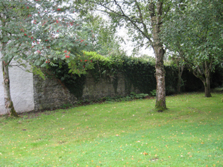 Portumna CastleWalled garden · 3.9 mi
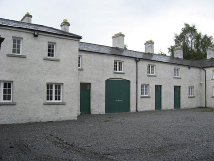 Portumna CastleStables · 4.0 mi
 Black mulberry4.1 mi
 BarrowBarrow, mound barrow · 5.4 mi
More archaeology and monuments in County Tipperary · All of County Tipperary
What do you know about this place?