What is recorded here
Hilltop monastery reputedly founded by St. Patrick and renamed Ardpatrick, hilltop formerly known as Tulach na Feinne [Hill of the Fianna] (Westropp 1922, 78). Monastery accessed from a road (L. c. 760m) to W known locally as the Rian Bó Phádraig (Patrick's cow road/ Road of St. Patrick's Cow) which is clearly visible…
Read the whole record
From the National Monuments Service (Archaeological Survey of Ireland) record LI056-002002
Places near here
Photo credits
- Andreas F. Borchert, Wikimedia Commons · CC BY-SA 4.0
- Maker not stated on source page, ar.pinterest.com
- National Inventory of Architectural Heritage
- Maker not stated on source page, commons.wikimedia.org
- Maker not stated on source page, www.irishamericanmom.com
- Colin Park, Geograph · CC BY-SA 2.0
 ‘Cloigtheach (Round Tower)’Round tower · 280 yd
Explorer Tom ‘Cloigtheach (Round Tower)’ in Ardpatrick survived a storm so bad it probably needs therapy now. It’s just three metres…
 Church (in ruins)Church · 317 yd
Explorer Tom Church in Ardpatrick claims St. Patrick personally founded it on this hilltop, which is a bold claim for any church to…
 Saint Patrick's Catholic ChurchChurch/chapel · 920 yd
Explorer Tom Saint Patrick's Catholic Church is in a feud with the next village over whose church has a slightly taller spire, which…
 presbytery/parochial/curate's house927 yd
Explorer Tom The Presbytery in Ardpatrick was saved by a hero nobody remembers, probably a guy with a mop and a very strong sense of…
 Ard na GréineHouse · 971 yd
Explorer Tom Ard na Gréine has strong opinions about modern buildings, mostly that they look like cardboard boxes. Its sliding sash…
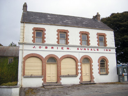 The Sunvale InnHouse · 972 yd
Explorer Tom The Sunvale Inn would be the uncle who knows everyone's secrets at a wedding. It’s got brick detailing that makes it…
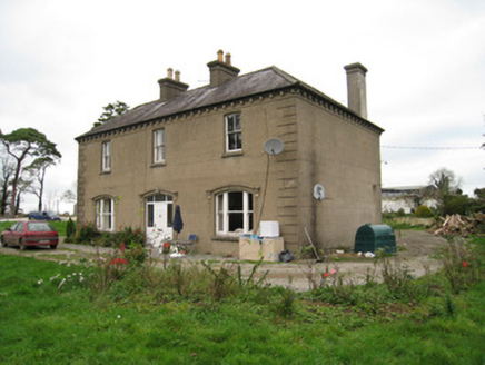 Ballyvoodane HouseHouse · 1.2 mi
Explorer Tom Ballyvoodane House has been locked in a serious feud with the rain, claiming every drop that hits it is an insult to…
 Earthwork in Sunville UpperEarthwork · 1.2 mi
Explorer Tom Earthwork in Sunville Upper would win a county fair by simply standing still and looking vaguely impressive while…
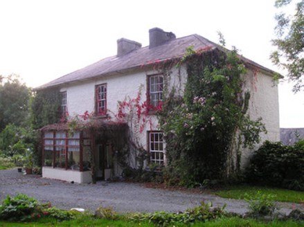 Mortlestown HouseHouse · 1.3 mi
Explorer Tom Mortlestown House in Mortlestown is so symmetrical it could pass for a robot that learned manners and bought good…
 Ogham stone in MountrussellOgham stone · 1.6 mi
Explorer Tom Ogham stone in Mountrussell used to be a rubbing post for cows who clearly had no respect for ancient history. The…
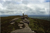 Seefin Mountain West TopMountain / peak · 1.8 mi
Explorer Tom Seefin Mountain West Top is the 528 metre Ballyhoura summit reached on the Black Rock Loop above Ardpatrick, and it has…
 Seefin Mountain East TopMountain / peak · 2.1 mi
Explorer Tom Seefin Mountain East Top in County Limerick had a brief moment where a fox took charge of the summit and started…
More historic places in County Limerick · All of County Limerick

What do you know about this place?Tap to add a comment or ask a question