What is recorded here
Twelve acres of rectangular fields still mark the Salterstown slope, their ditch lines visible only when crops grow unevenly above them. They belong to the same era as the nearby church, suggesting ordinary people farmed beside worship rather than waiting for history to begin elsewhere. Ivor Kenny first recognised the pattern, freeing the place from forgetfulness and returning it to human sight.
Situated on a slight S-facing slope. The cropmarks of small rectangular fields (dims c. 60m x c. 40m) defined by single ditch features can be seen on the OSI series of aerial photographs (1995). They cover an area of c. 12 acres (c. 5 ha), and are associated with the enclosure (LH016-009001-) and the road (Wth c. 5m) that meanders W from it (L c. 50m). The church (LH016-003001-) is just to the N and the fields are probably contemporary with it. The site was first identified by Ivor Kenny.
See the attached enhanced view from Map Genie (1995)
Compiled by: Michael Moore
Date of upload: 19 December, 2014
The monument record does not grant public access. Check the route and ask the landowner before entering private land.
- What survives
- Recorded monument
Places near here
 Enclosure in SalterstownEnclosure · 145 yd
 IndicatedGraveyard · 212 yd
 Church in ruinsChurch · 218 yd
 CastleCastle, tower house · 1.3 mi
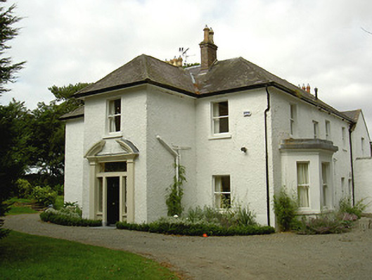 Ballygassan Househunting/fishing lodge · 1.6 mi
 Tullydonnell HillMountain / peak · 2.7 mi
 Graveyard in DysartGraveyard · 3.2 mi
 GreenmountCastle, motte and bailey · 3.4 mi
 Sweet baySweet bay · 3.5 mi
 European YewEuropean Yew · 3.5 mi
 Drummeenagh HillMountain / peak · 4.4 mi
 Chapel (in Ruins), GraveyardChurch · 4.7 mi