What is recorded here
Fairy fort in Ballybricken West is a broken earthen circle, thirty-eight to forty metres across, set in gently undulating pasture beside another enclosure. Its bank still stands a metre and a half high on the west and north-west, but quarrying and ploughing have erased much of the east and south. People may have lived inside it, or simply avoided it, treating the level ground as a threshold rather than a home.
In gently undulating pasture, adjoining enclosure (LI023-015----) on its S side. Circular area (38m NE-SW; 40m NW-SE) enclosed by earthen bank (int. H 0.35m; ext. H 1.5m; Wth 9.9m) SW-NW; slight gap at W. Bank not evident NE-E; traces of levelled arc E-ESE; not visible ESE-SW, possibly due to quarrying activities further to SE. Interior generally level.
Compiled by: Denis Power
Date of upload: 31 October 2013
The monument record does not grant public access. Check the route and ask the landowner before entering private land.
- What survives
- Recorded monument
Places near here
 Enclosure in Ballybricken WestEnclosure · 173 yd
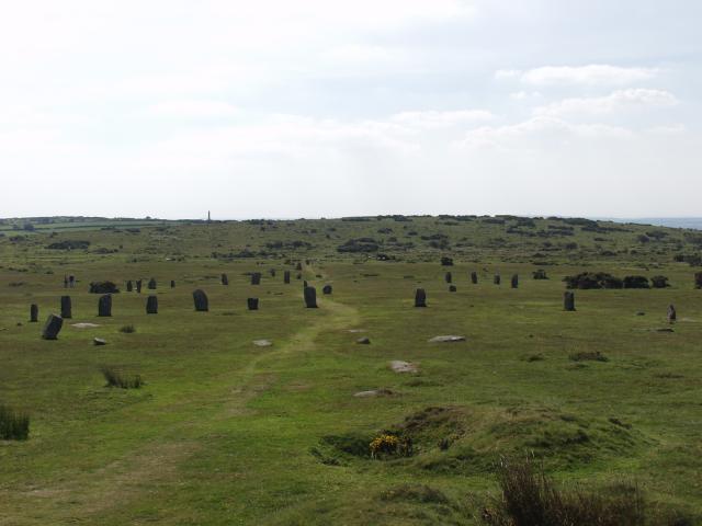 BarrowBarrow, ring-barrow · 359 yd
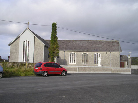 Saint Ailbe's Catholic Churchchurch/chapel · 808 yd
 RoadRoad, road/trackway · 892 yd
 CastleCastle, unclassified · 997 yd
 Ballybricken Court (in ruins)Castle, tower house · 1217 yd
 St Lawrence's WellSpring · 1.2 mi
 Wych ElmWych Elm · 1.4 mi
 Banoge's WellSpring · 2.2 mi
 Skool HillMountain / peak · 2.4 mi
 Graveyard in AbingtonGraveyard · 5.6 mi
 Kilteely HillMountain / peak · 5.9 mi