
What is recorded here
In pasture, on a WNW-facing slope. Sub-circular area (16m N-S; 14m E-W) defined by scarped edge (Wth 4m; H 0.35m). Interior level, however is cut by a cattle path (long-axis E-W) in S-sector. Enclosure (LI023-018----) to immediate S.
Compiled by: Denis Power
Date of upload: 26 November 2013
The monument record does not grant public access. Check the route and ask the landowner before entering private land.
- What survives
- Recorded monument
Places near here
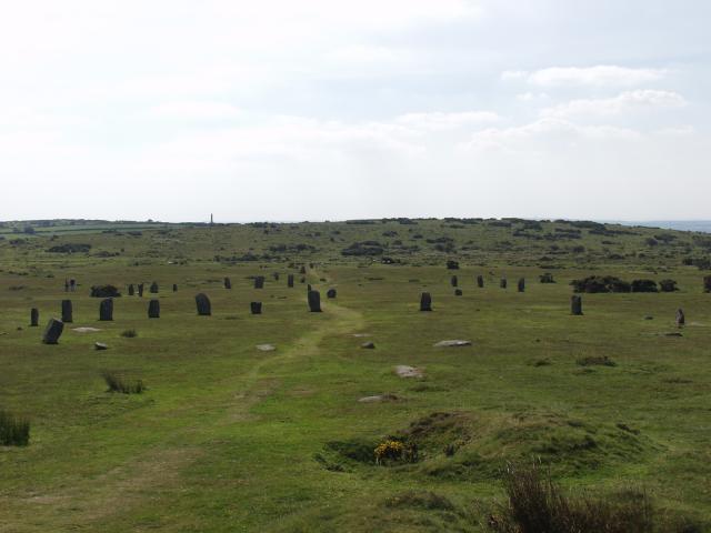 BarrowBarrow, ring-barrow · 427 yd
 Enclosure in Ballybricken EastEnclosure · 734 yd
 RoadRoad, road/trackway · 831 yd
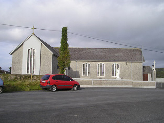 Saint Ailbe's Catholic Churchchurch/chapel · 866 yd
 CastleCastle, unclassified · 904 yd
 Ballybricken Court (in ruins)Castle, tower house · 1195 yd
 St Lawrence's WellSpring · 1.2 mi
 Wych ElmWych Elm · 1.4 mi
 Banoge's WellSpring · 2.3 mi
 Graveyard in AbingtonGraveyard · 5.5 mi
 Kilteely HillMountain / peak · 5.9 mi
 KnockseefinMountain / peak · 6.2 mi
Other information
Photo: Credit not shown in the picture search · Rights wording not checked; contact us if this picture should be removed