What is recorded here
Fairy fort / earthen ringfort in Enniscoffey or Caran is a fairy fort or earthen ringfort in Enniscoffey or Caran, County Westmeath, Ireland. The levelled monument sits on a slight rise on a south-southwest-facing slope in gently undulating pasture, and the 1971 account described it as a roughly circular grass-covered area 48 metres in diameter. Two broad concentric brown bands of earth, each 3.6 to 3.9 metres wide, are assumed to represent fosses exposed during recent scrub clearance, while part of a third similar outer ring 5 metres wide is visible from southwest through west to north-northwest.
Levelled ringfort situated on a slight rise, on SSW-facing slope, in gently undulating pasture. Depicted on the revised 1913 ed. OS 25-inch map as a large oval-shaped earthwork. Levelled monument described in 1971 as a large roughly circular-shaped grass-covered area (diam. 48m) defined by two broad concentric brown bands (Wth 3.6-3.9m) of earth which are assumed to represent fosses that were exposed during recent scrub clearance. There is part of a third similar outer ring (Wth 5m) visible from SW-W-NNW. The intervening area between the brown rings (where the banks are assumed to have been) are grass-covered areas (Wth 3-3.6m) similar to the interior. The presence of three potential fosses would suggest that this was a trivallate earthwork. A gap (Wth 11.4m) in the inner bank and a corresponding gap (Wth 6m) in the outer grass-covered rings at SE may represent the entrance. The interior rises slightly from the perimeter towards the centre. Monument is visible as an upstanding oval-shaped enclosure on aerial photograph (CUCAP BDK019) taken 14/07/1970.
Compiled by Alison McQueen, Vera Rahilly and Caimin O’Brien.
Date of upload: 04 November 2019
The monument record does not grant public access. Check the route and ask the landowner before entering private land.
- What survives
- Recorded monument
Places near here
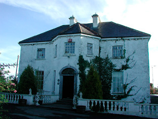 Woodville Housecountry house · 1041 yd
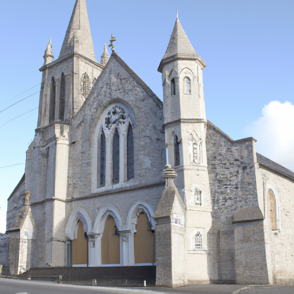 Church in Enniscoffey or CaranChurch · 1372 yd
 Dotted outlineFairy fort / earthen ringfort · 1450 yd
 Partially hachuredFairy fort / earthen ringfort · 1750 yd
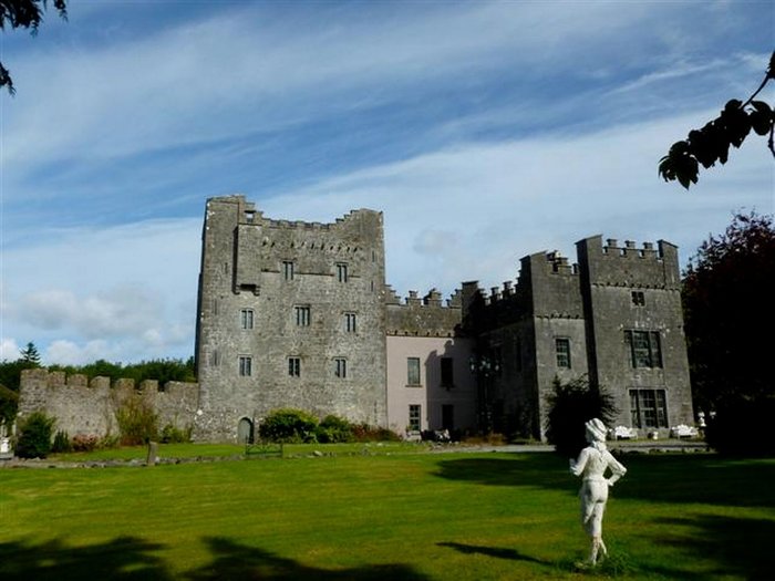 CastleCastle, unclassified · 1.7 mi
 Site of CastleCastle, unclassified · 1.8 mi
 United Nations War MemorialMemorial · 6.2 mi
 Roundhill WoodForest · 9.4 mi
 Rahin WoodsForest · 9.6 mi
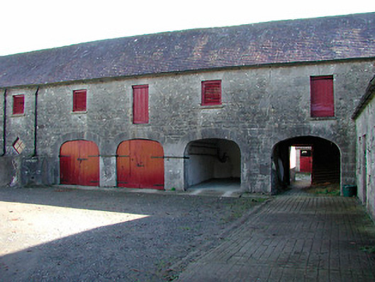 Claremont Housefarmyard complex · 1.0 mi
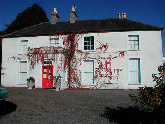 Rathcam Househouse · 1.1 mi
 Not idnicatedFairy fort / earthen ringfort · 1.2 mi