
What is recorded here
Situated in fairly level pasture, with limited views in all directions. Annotated ‘Fort’ on the 1837 OS Fair Plan map and depicted as a circular-shaped earthwork delimited by a broken line, in the SE corner of a field beside the roadway. Monument described in 1981 as no surface remains visible. There are two depressions in the ground. One is a broad, shallow depression and the other is a long, narrow depression which seem to be the result of minor quarrying. A laneway running N-S lies to the immediate E and a public road running WNW-ESE to the immediate S. A modern bungalow now stands on the site of the earthwork depicted on the 1840 ed. OS 6-inch map.
Compiled by Alison McQueen, Vera Rahilly and Caimin O’Brien.
Date of upload: 02 October 2019
A local fairy fort (ringfort/rath); wider significance not recorded.
The monument record does not grant public access. Check the route and ask the landowner before entering private land.
- What survives
- Recorded monument
Places near here
 Partially hachuredFairy fort / earthen ringfort · 303 yd
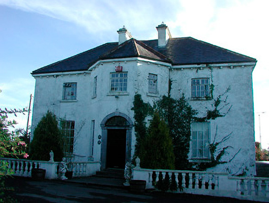 Woodville Housecountry house · 1465 yd
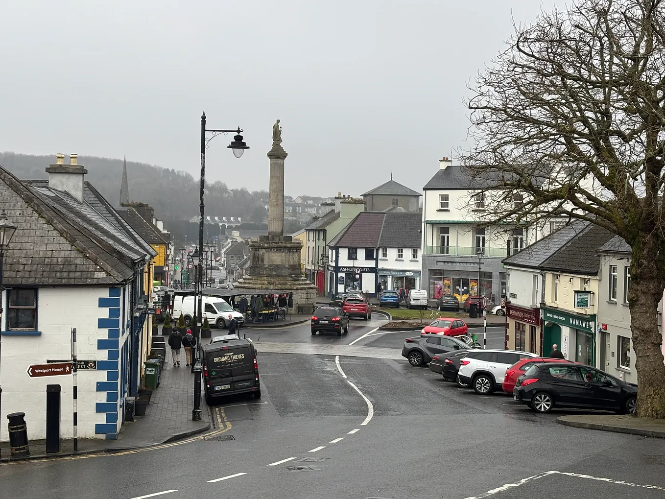 Not idnicatedFairy fort / earthen ringfort · 1.0 mi
 level crossinglevel crossing · 1.2 mi
 CastleCastle, tower house · 2.1 mi
 Heathstown CastleCastle, tower house · 2.2 mi
 United Nations War MemorialMemorial · 5.7 mi
 Saint Brigid's WellSpring · 6.3 mi
 Roundhill WoodForest · 9.8 mi
 Rahin WoodsForest · 9.9 mi
 Penal Mass station in VilanstownPenal Mass station · 1.2 mi
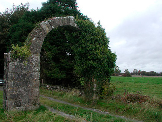 Violetstown Housefarmyard complex · 1.2 mi
Other information
Photo: Credit not shown in the picture search · Rights wording not checked; contact us if this picture should be removed